Area Overview for CH1 6QF
Photos of CH1 6QF
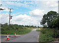


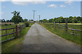
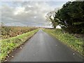
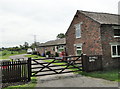
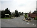
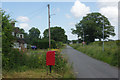
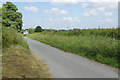
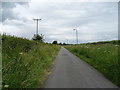
16 photos from this area
Area Information
Key information about the CH1 6QF including its size, population, and administrative classification.
- Area Type
- Postcode
- Area Size
- 99.4 hectares
- Population
- 1826
- Population Density
- 111 people/km²
House Prices in CH1 6QF
29
Properties
£255,700
Average Sold Price
£194,000
Lowest Price
£322,500
Highest Price
Showing 29 properties
| Address | Type | Beds | Baths | Last Sale Price | Last Sale Date | |
|---|---|---|---|---|---|---|
| Jasmine Cottage, Ferry Lane, Sealand, CH1 6QF | Cottage | 2 | 1 | £207,000 | Nov 2016 | |
| Ferry Lane Farm, Ferry Lane, Sealand, CH1 6QF | house | 3 | - | £194,000 | Nov 2014 | |
| Bramble Barn, Ferry Lane, Sealand, CH1 6QF | Semi-detached | 5 | 4 | £240,000 | Jun 2014 | |
| The Cottage, Ferry Lane, Sealand, CH1 6QF | Detached | 4 | 2 | £322,500 | Mar 2014 | |
| Calder, Ferry Lane, Sealand, CH1 6QF | Mobile Home | 2 | 2 | £315,000 | Nov 2013 | |
| The Bungalow, Ferry Lane, Sealand, CH1 6QF | Bungalow | 5 | 2 | - | - | |
| Thornleigh Park Farm, Ferry Lane, Sealand, CH1 6QF | Mobile Home | 3 | 1 | - | - | |
| Caravan R19, Fir Trees Holiday Park, Ferry Lane, Sealand, CH1 6QF | Mobile Home | 2 | - | - | - | |
| Caravan W6, Fir Trees Holiday Park, Ferry Lane, Sealand, CH1 6QF | Mobile Home | 2 | 2 | - | - | |
| 64, Fir Trees Holiday Park, Ferry Lane, Sealand, CH1 6QF | Bungalow | 2 | - | - | - |
Page 1 of 3
Energy Efficiency in CH1 6QF
Amenities
Schools
| Rank | School | Type | Entry gender | Ages |
|---|
Explore more schools in this area
Go to Schools tabDemographics
Household Size
Family (3-5 people)
most common
Accommodation Type
Houses
most common
Tenure
69
majority
Ethnic Group
White
most common
Religion
N/A
most common
Household Composition
N/A
most common
Age
47
median
Adults (30-64 years)
most common
Household Deprivation
N/A
with no deprivation
NS-SEC
32
in Lower managerial occupations
Explore more demographic insights in this area
Go to Demographics tabPlanning
Planning Constraints
- Flood RiskPremium
- Ramsar Wetland SitesPremium
- Area of Outstanding Natural BeautyPremium
- Protected Nature ReservePremium
- Protected WoodlandPremium
- Crime RiskPremium