Area Overview for LL20 8TF
Photos of LL20 8TF
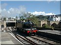
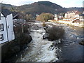
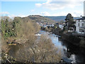
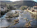
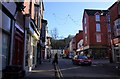
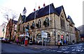
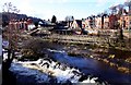
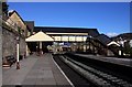

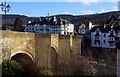
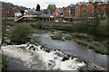
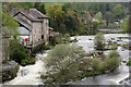
102 photos from this area
Area Information
Key information about the LL20 8TF including its size, population, and administrative classification.
- Area Type
- Postcode
- Area Size
- 12.5 hectares
- Population
- 1411
- Population Density
- 441 people/km²
House Prices in LL20 8TF
17
Properties
£382,000
Average Sold Price
£275,000
Lowest Price
£588,000
Highest Price
Showing 17 properties
| Address | Type | Beds | Baths | Last Sale Price | Last Sale Date | |
|---|---|---|---|---|---|---|
| Dinbren House, Dinbren Road, Llangollen, LL20 8TF | house | - | - | £588,000 | Nov 2020 | |
| Delfryn, Dinbren Road, Llangollen, LL20 8TF | house | - | - | £300,000 | Jul 2020 | |
| Fron Haul T G, Dinbren Road, Llangollen, LL20 8TF | house | - | - | £455,000 | Jun 2020 | |
| Awelfryn, Dinbren Road, Llangollen, LL20 8TF | house | - | - | £315,000 | Jan 2019 | |
| Gamelin, Dinbren Road, Llangollen, LL20 8TF | house | - | - | £386,000 | May 2018 | |
| Bryn Glas, Dinbren Road, Llangollen, LL20 8TF | house | - | - | £355,000 | Oct 2016 | |
| Brennig, Dinbren Road, Llangollen, LL20 8TF | Detached | 3 | 2 | £275,000 | Sep 2003 | |
| Annexe, Porth Camlas, Dinbren Road, Llangollen, LL20 8TF | Flat | - | - | - | - | |
| Flat, Fron Haul T G, Dinbren Road, Llangollen, LL20 8TF | Flat | - | - | - | - | |
| Wenlock, Dinbren Road, Llangollen, LL20 8TF | Detached | - | - | - | - |
Page 1 of 2
Energy Efficiency in LL20 8TF
Amenities
Schools
| Rank | School | Type | Entry gender | Ages |
|---|
Explore more schools in this area
Go to Schools tabDemographics
Household Size
One person
most common
Accommodation Type
Houses
most common
Tenure
62
majority
Ethnic Group
White
most common
Religion
N/A
most common
Household Composition
N/A
most common
Age
47
median
Adults (30-64 years)
most common
Household Deprivation
N/A
with no deprivation
NS-SEC
31
in Lower managerial occupations
Explore more demographic insights in this area
Go to Demographics tabPlanning
Planning Constraints
- Flood RiskPremium
- Ramsar Wetland SitesPremium
- Area of Outstanding Natural BeautyPremium
- Protected Nature ReservePremium
- Protected WoodlandPremium
- Crime RiskPremium