Area Overview for LL20 8SS
Photos of LL20 8SS
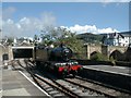
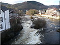
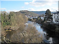
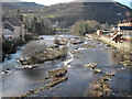
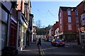
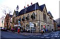
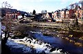
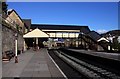

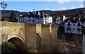
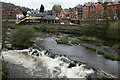
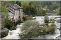
100 photos from this area
Area Information
Key information about the LL20 8SS including its size, population, and administrative classification.
- Area Type
- Postcode
- Area Size
- 6.8 hectares
- Population
- 1283
- Population Density
- 29 people/km²
House Prices in LL20 8SS
18
Properties
£333,833
Average Sold Price
£159,500
Lowest Price
£690,000
Highest Price
Showing 18 properties
| Address | Type | Beds | Baths | Last Sale Price | Last Sale Date | |
|---|---|---|---|---|---|---|
| Rhianfa, Abbey Road, Llangollen, LL20 8SS | house | - | - | £390,000 | Mar 2022 | |
| Lyndonhurst, Abbey Road, Llangollen, LL20 8SS | house | 7 | - | £690,000 | Nov 2021 | |
| Glanffrwd, Abbey Road, Llangollen, LL20 8SS | Semi-detached | 5 | 2 | £370,000 | Jul 2019 | |
| Winton, Abbey Road, Llangollen, LL20 8SS | Bungalow | - | - | £275,000 | Nov 2018 | |
| Adenhurst, Abbey Road, Llangollen, LL20 8SS | Bungalow | - | - | £450,000 | Aug 2015 | |
| Glan Ynys, Abbey Road, Llangollen, LL20 8SS | house | - | - | £310,000 | Dec 2010 | |
| Sunnydale, Abbey Road, Llangollen, LL20 8SS | Semi-detached | - | - | £185,000 | Dec 2002 | |
| Woodcroft, Abbey Road, Llangollen, LL20 8SS | Semi-detached | - | - | £175,000 | Jun 2002 | |
| Glandwr, Abbey Road, Llangollen, LL20 8SS | Detached | - | - | £159,500 | Jun 2001 | |
| Basement, Lyndonhurst, Abbey Road, Llangollen, LL20 8SS | hotel | - | - | - | - |
Page 1 of 2
Energy Efficiency in LL20 8SS
Amenities
Schools
| Rank | School | Type | Entry gender | Ages |
|---|
Explore more schools in this area
Go to Schools tabDemographics
Household Size
One person
most common
Accommodation Type
Houses
most common
Tenure
55
majority
Ethnic Group
White
most common
Religion
N/A
most common
Household Composition
N/A
most common
Age
47
median
Adults (30-64 years)
most common
Household Deprivation
N/A
with no deprivation
NS-SEC
34
in Lower managerial occupations
Explore more demographic insights in this area
Go to Demographics tabPlanning
Planning Constraints
- Flood RiskPremium
- Ramsar Wetland SitesPremium
- Area of Outstanding Natural BeautyPremium
- Protected Nature ReservePremium
- Protected WoodlandPremium
- Crime RiskPremium