Area Overview for LL19 9BW
Photos of LL19 9BW
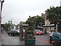
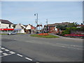
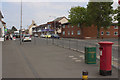
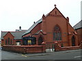
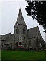
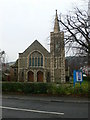
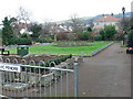
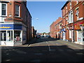
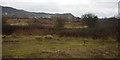
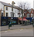

71 photos from this area
Area Information
Key information about the LL19 9BW including its size, population, and administrative classification.
- Area Type
- Postcode
- Area Size
- 2147 m²
- Population
- 1328
- Population Density
- 2131 people/km²
House Prices in LL19 9BW
9
Properties
£60,490
Average Sold Price
£45,000
Lowest Price
£87,000
Highest Price
Showing 9 properties
| Address | Type | Beds | Baths | Last Sale Price | Last Sale Date | |
|---|---|---|---|---|---|---|
| 164A High Street, Prestatyn, LL19 9BW | Maisonette | - | - | £87,000 | Apr 2013 | |
| 160A High Street, Prestatyn, LL19 9BW | Flat | - | - | £58,000 | Sep 2008 | |
| 172 High Street, Prestatyn, LL19 9BW | Flat | - | - | £59,950 | Jul 2005 | |
| 176 High Street, Prestatyn, LL19 9BW | Flat | - | - | £52,500 | Apr 2005 | |
| 166 High Street, Prestatyn, LL19 9BW | Flat | - | - | £45,000 | Oct 2001 | |
| 184 High Street, Prestatyn, LL19 9BW | Flat | 3 | 1 | - | - | |
| The Hair Boutique, 186-188 High Street, Prestatyn, LL19 9BW | retail_financial | - | - | - | - | |
| 182 High Street, Prestatyn, LL19 9BW | Office | - | - | - | - | |
| 180 High Street, Prestatyn, LL19 9BW | Flat | - | - | - | - |
Energy Efficiency in LL19 9BW
Amenities
Schools
| Rank | School | Type | Entry gender | Ages |
|---|
Explore more schools in this area
Go to Schools tabDemographics
Household Size
One person
most common
Accommodation Type
Houses
most common
Tenure
45
majority
Ethnic Group
White
most common
Religion
N/A
most common
Household Composition
N/A
most common
Age
47
median
Adults (30-64 years)
most common
Household Deprivation
N/A
with no deprivation
NS-SEC
21
in Lower managerial occupations
Explore more demographic insights in this area
Go to Demographics tabPlanning
Planning Constraints
- Flood RiskPremium
- Ramsar Wetland SitesPremium
- Area of Outstanding Natural BeautyPremium
- Protected Nature ReservePremium
- Protected WoodlandPremium
- Crime RiskPremium