Area Overview for SA32 7NH
Photos of SA32 7NH
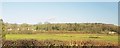
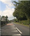
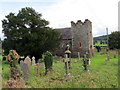
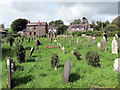
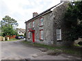
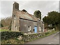
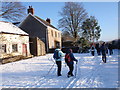
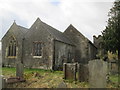
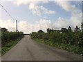
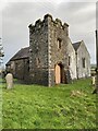
14 photos from this area
Area Information
Key information about the SA32 7NH including its size, population, and administrative classification.
- Area Type
- Postcode
- Area Size
- 56.0 hectares
- Population
- 1396
- Population Density
- 42 people/km²
House Prices in SA32 7NH
13
Properties
£353,600
Average Sold Price
£138,000
Lowest Price
£695,000
Highest Price
Showing 13 properties
| Address | Type | Beds | Baths | Last Sale Price | Last Sale Date | |
|---|---|---|---|---|---|---|
| Oak Tree Cottage, Alltyferin Road, Pontargothi, Carmarthen, SA32 7NH | Detached | 4 | 3 | £450,000 | Jul 2025 | |
| Tynycoed, Pontargothi To Dryslwyn, Nantgaredig, Carmarthen, SA32 7NH | house | - | - | £695,000 | Aug 2021 | |
| Brynderwen, Pontargothi To Dryslwyn, Nantgaredig, Carmarthen, SA32 7NH | Semi-detached | 3 | 1 | £160,000 | Feb 2018 | |
| Frondeg, Pontargothi To Dryslwyn, Nantgaredig, Carmarthen, SA32 7NH | Semi-detached | 4 | - | £138,000 | Jul 2015 | |
| Stone Beck, Alltyferin Road, Pontargothi, Carmarthen, SA32 7NH | Bungalow | - | - | £325,000 | Jul 2015 | |
| Rylstone, Alltyferin Road, Pontargothi, Carmarthen, SA32 7NH | Bungalow | 3 | 2 | - | - | |
| Derwendeg, Pontargothi To Dryslwyn, Nantgaredig, Carmarthen, SA32 7NH | Detached | - | - | - | - | |
| Salutation Inn, Pontargothi To Dryslwyn, Nantgaredig, Carmarthen, SA32 7NH | restaurant_cafe | - | - | - | - | |
| Preswylfa, Pontargothi To Dryslwyn, Nantgaredig, Carmarthen, SA32 7NH | Detached | - | - | - | - | |
| Tirdail Lodge, Pontargothi To Dryslwyn, Nantgaredig, Carmarthen, SA32 7NH | Bungalow | - | - | - | - |
Page 1 of 2
Energy Efficiency in SA32 7NH
Amenities
Schools
| Rank | School | Type | Entry gender | Ages |
|---|
Explore more schools in this area
Go to Schools tabDemographics
Household Size
Two person
most common
Accommodation Type
Houses
most common
Tenure
83
majority
Ethnic Group
White
most common
Religion
N/A
most common
Household Composition
N/A
most common
Age
47
median
Adults (30-64 years)
most common
Household Deprivation
N/A
with no deprivation
NS-SEC
40
in Lower managerial occupations
Explore more demographic insights in this area
Go to Demographics tabPlanning
Planning Constraints
- Flood RiskPremium
- Ramsar Wetland SitesPremium
- Area of Outstanding Natural BeautyPremium
- Protected Nature ReservePremium
- Protected WoodlandPremium
- Crime RiskPremium