Area Overview for SA16 0RU
Photos of SA16 0RU
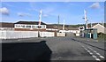
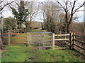
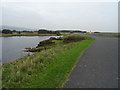
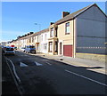
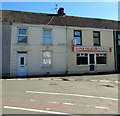
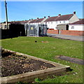
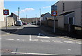
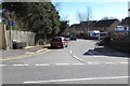
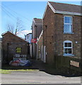
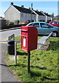
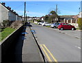
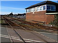
41 photos from this area
Area Information
Key information about the SA16 0RU including its size, population, and administrative classification.
- Area Type
- Postcode
- Area Size
- 9742 m²
- Population
- 1409
- Population Density
- 986 people/km²
House Prices in SA16 0RU
21
Properties
£103,604
Average Sold Price
£20,000
Lowest Price
£213,000
Highest Price
Showing 21 properties
| Address | Type | Beds | Baths | Last Sale Price | Last Sale Date | |
|---|---|---|---|---|---|---|
| 69 New Street, Burry Port, SA16 0RU | Terraced | 3 | 1 | £155,000 | May 2025 | |
| 85 New Street, Burry Port, SA16 0RU | house | - | - | £140,000 | May 2024 | |
| 77 New Street, Burry Port, SA16 0RU | Terraced | 3 | 1 | £118,500 | Apr 2023 | |
| 73 New Street, Burry Port, SA16 0RU | Terraced | 4 | 2 | £213,000 | Feb 2023 | |
| 71 New Street, Burry Port, SA16 0RU | house | - | - | £110,000 | Feb 2020 | |
| 78 New Street, Burry Port, SA16 0RU | Flat | - | - | £75,000 | Oct 2018 | |
| 89 New Street, Burry Port, SA16 0RU | Terraced | 4 | 1 | £79,000 | Feb 2016 | |
| 76 New Street, Burry Port, SA16 0RU | Flat | - | - | £68,750 | Jul 2012 | |
| 83 New Street, Burry Port, SA16 0RU | Terraced | - | - | £110,000 | Feb 2008 | |
| 87 New Street, Burry Port, SA16 0RU | Terraced | - | - | £125,000 | Dec 2006 |
Page 1 of 3
Energy Efficiency in SA16 0RU
Amenities
Schools
| Rank | School | Type | Entry gender | Ages |
|---|
Explore more schools in this area
Go to Schools tabDemographics
Household Size
One person
most common
Accommodation Type
Houses
most common
Tenure
56
majority
Ethnic Group
White
most common
Religion
N/A
most common
Household Composition
N/A
most common
Age
47
median
Adults (30-64 years)
most common
Household Deprivation
N/A
with no deprivation
NS-SEC
22
in Lower managerial occupations
Explore more demographic insights in this area
Go to Demographics tabPlanning
Planning Constraints
- Flood RiskPremium
- Ramsar Wetland SitesPremium
- Area of Outstanding Natural BeautyPremium
- Protected Nature ReservePremium
- Protected WoodlandPremium
- Crime RiskPremium