Area Overview for SA16 0RR
Photos of SA16 0RR
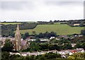
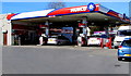
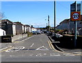
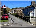
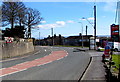
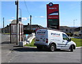
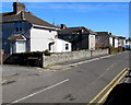
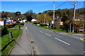
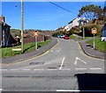
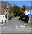
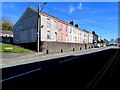
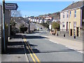
41 photos from this area
Area Information
Key information about the SA16 0RR including its size, population, and administrative classification.
- Area Type
- Postcode
- Area Size
- 6.4 hectares
- Population
- 1295
- Population Density
- 533 people/km²
House Prices in SA16 0RR
45
Properties
£166,538
Average Sold Price
£54,000
Lowest Price
£360,000
Highest Price
Showing 45 properties
| Address | Type | Beds | Baths | Last Sale Price | Last Sale Date | |
|---|---|---|---|---|---|---|
| 87 Parc Tyisha, Burry Port, SA16 0RR | Bungalow | 3 | 1 | £360,000 | Jan 2025 | |
| 49 Parc Tyisha, Burry Port, SA16 0RR | Bungalow | 3 | 1 | £300,000 | Mar 2023 | |
| 71 Parc Tyisha, Burry Port, SA16 0RR | Bungalow | 3 | 1 | £325,000 | Dec 2022 | |
| 51 Parc Tyisha, Burry Port, SA16 0RR | Bungalow | 3 | 1 | £180,000 | Jul 2020 | |
| 33 Parc Tyisha, Burry Port, SA16 0RR | Bungalow | 3 | 1 | £230,000 | Nov 2019 | |
| 19 Parc Tyisha, Burry Port, SA16 0RR | Detached | 4 | 1 | £245,000 | Aug 2019 | |
| 53 Parc Tyisha, Burry Port, SA16 0RR | Bungalow | 2 | 1 | £184,950 | Apr 2019 | |
| 25 Parc Tyisha, Burry Port, SA16 0RR | Bungalow | - | - | £193,000 | Nov 2018 | |
| 27 Parc Tyisha, Burry Port, SA16 0RR | Bungalow | 3 | 2 | £182,000 | Oct 2018 | |
| 85 Parc Tyisha, Burry Port, SA16 0RR | Detached | - | - | £109,496 | Sep 2018 |
Page 1 of 5
Energy Efficiency in SA16 0RR
Amenities
Schools
| Rank | School | Type | Entry gender | Ages |
|---|
Explore more schools in this area
Go to Schools tabDemographics
Household Size
Two person
most common
Accommodation Type
Houses
most common
Tenure
86
majority
Ethnic Group
White
most common
Religion
N/A
most common
Household Composition
N/A
most common
Age
47
median
Adults (30-64 years)
most common
Household Deprivation
N/A
with no deprivation
NS-SEC
30
in Lower managerial occupations
Explore more demographic insights in this area
Go to Demographics tabPlanning
Planning Constraints
- Flood RiskPremium
- Ramsar Wetland SitesPremium
- Area of Outstanding Natural BeautyPremium
- Protected Nature ReservePremium
- Protected WoodlandPremium
- Crime RiskPremium