Area Overview for CF5 4QG
Photos of CF5 4QG

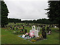
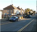
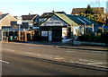
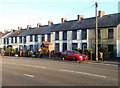
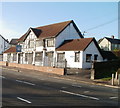
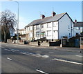
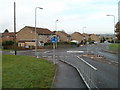
30 photos from this area
Area Information
Key information about the CF5 4QG including its size, population, and administrative classification.
- Area Type
- Postcode
- Area Size
- 1.1 hectares
- Population
- 1601
- Population Density
- 7112 people/km²
House Prices in CF5 4QG
31
Properties
£71,950
Average Sold Price
£31,000
Lowest Price
£140,000
Highest Price
Showing 31 properties
| Address | Type | Beds | Baths | Last Sale Price | Last Sale Date | |
|---|---|---|---|---|---|---|
| 264 Grand Avenue, Ely, Cardiff, CF5 4QG | Flat | 2 | 1 | £110,000 | Jul 2019 | |
| 306 Grand Avenue, Ely, Cardiff, CF5 4QG | Flat | - | - | £64,000 | Apr 2018 | |
| 288 Grand Avenue, Ely, Cardiff, CF5 4QG | Detached | 3 | 1 | £140,000 | Feb 2017 | |
| 262 Grand Avenue, Ely, Cardiff, CF5 4QG | Flat | - | - | £60,000 | Aug 2013 | |
| 298 Grand Avenue, Ely, Cardiff, CF5 4QG | Flat | - | - | £87,000 | Feb 2008 | |
| 302 Grand Avenue, Ely, Cardiff, CF5 4QG | Flat | - | - | £82,000 | Aug 2006 | |
| 304 Grand Avenue, Ely, Cardiff, CF5 4QG | Flat | 2 | 1 | £60,000 | Jan 2006 | |
| 260 Grand Avenue, Ely, Cardiff, CF5 4QG | Flat | - | - | £31,000 | Feb 2001 | |
| 286 Grand Avenue, Ely, Cardiff, CF5 4QG | Semi-detached | - | - | £38,000 | Jan 2001 | |
| 314 Grand Avenue, Ely, Cardiff, CF5 4QG | Semi-detached | - | - | £47,500 | May 2000 |
Page 1 of 4
Energy Efficiency in CF5 4QG
Amenities
Schools
| Rank | School | Type | Entry gender | Ages |
|---|
Explore more schools in this area
Go to Schools tabDemographics
Household Size
Family (3-5 people)
most common
Accommodation Type
Houses
most common
Tenure
33
majority
Ethnic Group
White
most common
Religion
N/A
most common
Household Composition
N/A
most common
Age
47
median
Adults (30-64 years)
most common
Household Deprivation
N/A
with no deprivation
NS-SEC
14
in Lower managerial occupations
Explore more demographic insights in this area
Go to Demographics tabPlanning
Planning Constraints
- Flood RiskPremium
- Ramsar Wetland SitesPremium
- Area of Outstanding Natural BeautyPremium
- Protected Nature ReservePremium
- Protected WoodlandPremium
- Crime RiskPremium