Area Overview for CF5 4PU
Photos of CF5 4PU
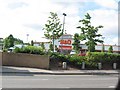
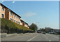

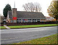
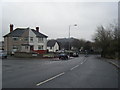
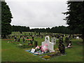
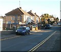
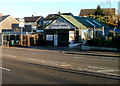
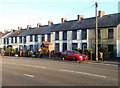
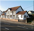
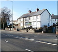
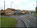
30 photos from this area
Area Information
Key information about the CF5 4PU including its size, population, and administrative classification.
- Area Type
- Postcode
- Area Size
- 5157 m²
- Population
- 1689
- Population Density
- 7312 people/km²
House Prices in CF5 4PU
16
Properties
£135,950
Average Sold Price
£86,850
Lowest Price
£175,000
Highest Price
Showing 16 properties
| Address | Type | Beds | Baths | Last Sale Price | Last Sale Date | |
|---|---|---|---|---|---|---|
| 111 Snowden Road, Ely, Cardiff, CF5 4PU | Semi-detached | 3 | 1 | £175,000 | Jan 2025 | |
| 109 Snowden Road, Ely, Cardiff, CF5 4PU | Semi-detached | 3 | 1 | £146,000 | Sep 2019 | |
| 160 Snowden Road, Ely, Cardiff, CF5 4PU | Terraced | - | - | £86,850 | Jul 2006 | |
| 162 Snowden Road, Ely, Cardiff, CF5 4PU | house | - | - | - | - | |
| 150 Snowden Road, Ely, Cardiff, CF5 4PU | Semi-detached | - | - | - | - | |
| 170 Snowden Road, Ely, Cardiff, CF5 4PU | Semi-detached | - | - | - | - | |
| 168 Snowden Road, Ely, Cardiff, CF5 4PU | house | - | - | - | - | |
| 146 Snowden Road, Ely, Cardiff, CF5 4PU | house | - | - | - | - | |
| 152 Snowden Road, Ely, Cardiff, CF5 4PU | Semi-detached | - | - | - | - | |
| 156 Snowden Road, Ely, Cardiff, CF5 4PU | Semi-detached | - | - | - | - |
Page 1 of 2
Energy Efficiency in CF5 4PU
Amenities
Schools
| Rank | School | Type | Entry gender | Ages |
|---|
Explore more schools in this area
Go to Schools tabDemographics
Household Size
Family (3-5 people)
most common
Accommodation Type
Houses
most common
Tenure
26
majority
Ethnic Group
White
most common
Religion
N/A
most common
Household Composition
N/A
most common
Age
22
median
Adults (30-64 years)
most common
Household Deprivation
N/A
with no deprivation
NS-SEC
12
in Lower managerial occupations
Explore more demographic insights in this area
Go to Demographics tabPlanning
Planning Constraints
- Flood RiskPremium
- Ramsar Wetland SitesPremium
- Area of Outstanding Natural BeautyPremium
- Protected Nature ReservePremium
- Protected WoodlandPremium
- Crime RiskPremium