Area Overview for CF11 7HX
Photos of CF11 7HX
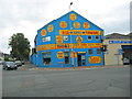
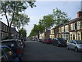

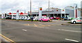
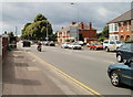
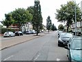
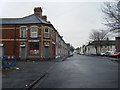
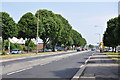
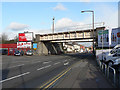
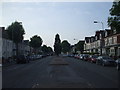
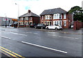
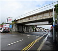
75 photos from this area
Area Information
Key information about the CF11 7HX including its size, population, and administrative classification.
- Area Type
- Postcode
- Area Size
- 5.3 hectares
- Population
- 1328
- Population Density
- 5108 people/km²
House Prices in CF11 7HX
38
Properties
£116,636
Average Sold Price
£38,000
Lowest Price
£220,000
Highest Price
Showing 38 properties
| Address | Type | Beds | Baths | Last Sale Price | Last Sale Date | |
|---|---|---|---|---|---|---|
| 137 Channel View Road, Grangetown, Cardiff, CF11 7HX | Terraced | 3 | 2 | £220,000 | May 2023 | |
| 97 Channel View Road, Grangetown, Cardiff, CF11 7HX | house | 4 | - | £197,000 | Mar 2021 | |
| 89 Channel View Road, Grangetown, Cardiff, CF11 7HX | house | - | - | £198,000 | Dec 2020 | |
| 85 Channel View Road, Grangetown, Cardiff, CF11 7HX | Flat | - | - | £64,950 | Nov 2017 | |
| 109 Channel View Road, Grangetown, Cardiff, CF11 7HX | Flat | - | - | £53,500 | Sep 2003 | |
| 127 Channel View Road, Grangetown, Cardiff, CF11 7HX | Terraced | - | - | £38,000 | Apr 1998 | |
| 95 Channel View Road, Grangetown, Cardiff, CF11 7HX | house | - | - | £45,000 | Mar 1997 | |
| 113 Channel View Road, Grangetown, Cardiff, CF11 7HX | Flat | - | - | - | - | |
| 117 Channel View Road, Grangetown, Cardiff, CF11 7HX | Flat | - | - | - | - | |
| 119 Channel View Road, Grangetown, Cardiff, CF11 7HX | Flat | - | - | - | - |
Page 1 of 4
Energy Efficiency in CF11 7HX
Amenities
Schools
| Rank | School | Type | Entry gender | Ages |
|---|
Explore more schools in this area
Go to Schools tabDemographics
Household Size
One person
most common
Accommodation Type
Flats
most common
Tenure
29
majority
Ethnic Group
White
most common
Religion
N/A
most common
Household Composition
N/A
most common
Age
47
median
Adults (30-64 years)
most common
Household Deprivation
N/A
with no deprivation
NS-SEC
31
in Lower managerial occupations
Explore more demographic insights in this area
Go to Demographics tabPlanning
Planning Constraints
- Flood RiskPremium
- Ramsar Wetland SitesPremium
- Area of Outstanding Natural BeautyPremium
- Protected Nature ReservePremium
- Protected WoodlandPremium
- Crime RiskPremium