Area Overview for NP11 5GD
Photos of NP11 5GD
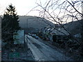
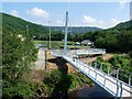
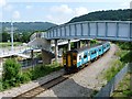
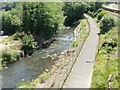
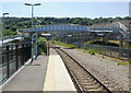
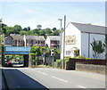
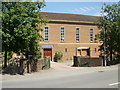
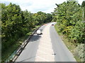
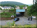
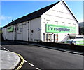
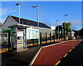
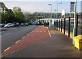
100 photos from this area
Area Information
Key information about the NP11 5GD including its size, population, and administrative classification.
- Area Type
- Postcode
- Area Size
- 10.1 hectares
- Population
- 1440
- Population Density
- 1033 people/km²
House Prices in NP11 5GD
41
Properties
£104,758
Average Sold Price
£37,000
Lowest Price
£209,000
Highest Price
Showing 41 properties
| Address | Type | Beds | Baths | Last Sale Price | Last Sale Date | |
|---|---|---|---|---|---|---|
| 41 Central Avenue, Pantside, NP11 5GD | Terraced | 3 | 1 | £135,000 | Jul 2024 | |
| San Remo, Central Avenue, Pantside, NP11 5GD | Bungalow | - | - | £200,000 | Jan 2023 | |
| 58 Central Avenue, Pantside, NP11 5GD | Terraced | 3 | 1 | £170,000 | Dec 2022 | |
| 63 Central Avenue, Pantside, NP11 5GD | Terraced | 3 | 1 | £157,950 | Jul 2019 | |
| Brookdale, Central Avenue, Pantside, NP11 5GD | Detached | 3 | 1 | £209,000 | Feb 2018 | |
| 57 Central Avenue, Pantside, NP11 5GD | Terraced | 3 | - | £103,000 | Jul 2017 | |
| 47 Central Avenue, Pantside, NP11 5GD | Terraced | 3 | 1 | £114,500 | Jul 2017 | |
| 61 Central Avenue, Pantside, NP11 5GD | Terraced | 3 | 1 | £75,000 | Jun 2017 | |
| 53 Central Avenue, Pantside, NP11 5GD | Terraced | 3 | 1 | £87,000 | Aug 2016 | |
| 56 Central Avenue, Pantside, NP11 5GD | house | 3 | - | £75,000 | Apr 2016 |
Page 1 of 5
Energy Efficiency in NP11 5GD
Amenities
Schools
| Rank | School | Type | Entry gender | Ages |
|---|
Explore more schools in this area
Go to Schools tabDemographics
Household Size
Two person
most common
Accommodation Type
Houses
most common
Tenure
65
majority
Ethnic Group
White
most common
Religion
N/A
most common
Household Composition
N/A
most common
Age
47
median
Adults (30-64 years)
most common
Household Deprivation
N/A
with no deprivation
NS-SEC
23
in Lower managerial occupations
Explore more demographic insights in this area
Go to Demographics tabPlanning
Planning Constraints
- Flood RiskPremium
- Ramsar Wetland SitesPremium
- Area of Outstanding Natural BeautyPremium
- Protected Nature ReservePremium
- Protected WoodlandPremium
- Crime RiskPremium