Area Overview for NP11 5GA
Photos of NP11 5GA
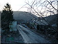
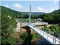
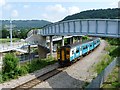
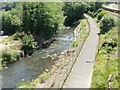
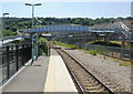
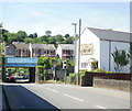
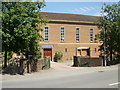
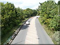
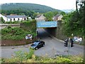
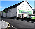
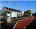
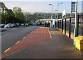
100 photos from this area
Area Information
Key information about the NP11 5GA including its size, population, and administrative classification.
- Area Type
- Postcode
- Area Size
- 1.0 hectares
- Population
- 1440
- Population Density
- 1033 people/km²
House Prices in NP11 5GA
16
Properties
£186,300
Average Sold Price
£115,000
Lowest Price
£260,000
Highest Price
Showing 16 properties
| Address | Type | Beds | Baths | Last Sale Price | Last Sale Date | |
|---|---|---|---|---|---|---|
| 3 Pant Farm Close, Pantside, NP11 5GA | Detached | 3 | 1 | £240,000 | Mar 2025 | |
| 11 Pant Farm Close, Pantside, NP11 5GA | Semi-detached | 3 | 2 | £240,000 | Jul 2024 | |
| 6 Pant Farm Close, Pantside, NP11 5GA | Semi-detached | 3 | 1 | £255,000 | Apr 2024 | |
| 16 Pant Farm Close, Pantside, NP11 5GA | Semi-detached | 3 | 1 | £260,000 | Dec 2023 | |
| 7 Pant Farm Close, Newbridge, Newport, NP11 5GA | Detached | 3 | 2 | £155,000 | Jun 2021 | |
| 1 Pant Farm Close, Pantside, NP11 5GA | Detached | 3 | 2 | £230,000 | Feb 2021 | |
| 15 Pant Farm Close, Pantside, NP11 5GA | Semi-detached | - | - | £117,000 | Mar 2015 | |
| 13 Pant Farm Close, Pantside, NP11 5GA | Semi-detached | 3 | 1 | £115,000 | Jan 2015 | |
| 5 Pant Farm Close, Pantside, NP11 5GA | Semi-detached | - | - | £133,000 | May 2007 | |
| 10 Pant Farm Close, Pantside, NP11 5GA | Semi-detached | - | - | £118,000 | Nov 2003 |
Page 1 of 2
Energy Efficiency in NP11 5GA
Amenities
Schools
| Rank | School | Type | Entry gender | Ages |
|---|
Explore more schools in this area
Go to Schools tabDemographics
Household Size
Two person
most common
Accommodation Type
Houses
most common
Tenure
65
majority
Ethnic Group
White
most common
Religion
N/A
most common
Household Composition
N/A
most common
Age
47
median
Adults (30-64 years)
most common
Household Deprivation
N/A
with no deprivation
NS-SEC
23
in Lower managerial occupations
Explore more demographic insights in this area
Go to Demographics tabPlanning
Planning Constraints
- Flood RiskPremium
- Ramsar Wetland SitesPremium
- Area of Outstanding Natural BeautyPremium
- Protected Nature ReservePremium
- Protected WoodlandPremium
- Crime RiskPremium