Area Overview for CF81 9FG
Photos of CF81 9FG
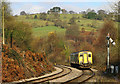
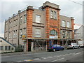
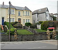
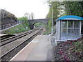
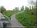
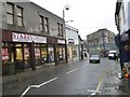
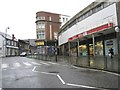
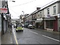
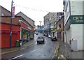

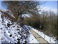
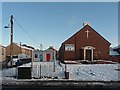
100 photos from this area
Area Information
Key information about the CF81 9FG including its size, population, and administrative classification.
- Area Type
- Postcode
- Area Size
- 7772 m²
- Population
- 2172
- Population Density
- 1533 people/km²
House Prices in CF81 9FG
34
Properties
£68,286
Average Sold Price
£21,000
Lowest Price
£125,000
Highest Price
Showing 34 properties
| Address | Type | Beds | Baths | Last Sale Price | Last Sale Date | |
|---|---|---|---|---|---|---|
| 147 Commercial Street, Aberbargoed, CF81 9FG | Semi-detached | 3 | - | £125,000 | Sep 2018 | |
| 157 Commercial Street, Aberbargoed, CF81 9FG | Terraced | 3 | 1 | £80,000 | Mar 2016 | |
| 169 Commercial Street, Aberbargoed, CF81 9FG | Terraced | 3 | - | £59,000 | Mar 2015 | |
| 167 Commercial Street, Aberbargoed, CF81 9FG | Terraced | - | - | £120,000 | Jan 2008 | |
| 155 Commercial Street, Aberbargoed, CF81 9FG | house | - | - | £40,000 | Mar 1999 | |
| 161 Commercial Street, Aberbargoed, CF81 9FG | Terraced | - | - | £21,000 | Jul 1997 | |
| 149 Commercial Street, Aberbargoed, CF81 9FG | house | - | - | £33,000 | Aug 1996 | |
| Flat 6, Tudor Court, Commercial Street, Aberbargoed, CF81 9FG | Flat | 1 | 1 | - | - | |
| Flat 3, Tudor Court, Commercial Street, Aberbargoed, CF81 9FG | Flat | 1 | - | - | - | |
| 145 Commercial Street, Aberbargoed, CF81 9FG | Flat | - | - | - | - |
Page 1 of 4
Energy Efficiency in CF81 9FG
Amenities
Schools
| Rank | School | Type | Entry gender | Ages |
|---|
Explore more schools in this area
Go to Schools tabDemographics
Household Size
Two person
most common
Accommodation Type
Houses
most common
Tenure
54
majority
Ethnic Group
White
most common
Religion
N/A
most common
Household Composition
N/A
most common
Age
47
median
Adults (30-64 years)
most common
Household Deprivation
N/A
with no deprivation
NS-SEC
17
in Lower managerial occupations
Explore more demographic insights in this area
Go to Demographics tabPlanning
Planning Constraints
- Flood RiskPremium
- Ramsar Wetland SitesPremium
- Area of Outstanding Natural BeautyPremium
- Protected Nature ReservePremium
- Protected WoodlandPremium
- Crime RiskPremium