Area Overview for CF35 6LD
Photos of CF35 6LD
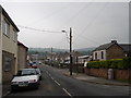
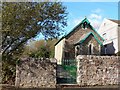
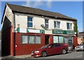
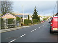
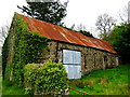
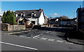


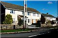

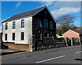
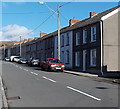
29 photos from this area
Area Information
Key information about the CF35 6LD including its size, population, and administrative classification.
- Area Type
- Postcode
- Area Size
- 13.3 hectares
- Population
- 1554
- Population Density
- 107 people/km²
House Prices in CF35 6LD
23
Properties
£144,912
Average Sold Price
£21,420
Lowest Price
£254,950
Highest Price
Showing 23 properties
| Address | Type | Beds | Baths | Last Sale Price | Last Sale Date | |
|---|---|---|---|---|---|---|
| 12 Cae Garn, Heol Y Cyw, Bridgend, CF35 6LD | Bungalow | 3 | 1 | £210,000 | Dec 2021 | |
| 1 Cae Garn, Heol Y Cyw, Bridgend, CF35 6LD | house | - | - | £179,950 | Mar 2021 | |
| 7 Cae Garn, Heol Y Cyw, Bridgend, CF35 6LD | Detached | - | - | £110,000 | Apr 2017 | |
| 2 Cae Garn, Heol Y Cyw, Bridgend, CF35 6LD | Detached | 2 | 1 | £169,950 | Mar 2017 | |
| Dan-y-deri, Cae Garn, Heol Y Cyw, Bridgend, CF35 6LD | Detached | 4 | 1 | £254,950 | Nov 2015 | |
| 24 Cae Garn, Heol Y Cyw, Bridgend, CF35 6LD | Bungalow | 2 | - | £110,000 | Jul 2015 | |
| 19 Cae Garn, Heol Y Cyw, Bridgend, CF35 6LD | Bungalow | 4 | 1 | £245,000 | Dec 2014 | |
| 14 Cae Garn, Heol Y Cyw, Bridgend, CF35 6LD | Bungalow | 5 | - | £188,000 | Jun 2011 | |
| 11 Cae Garn, Heol Y Cyw, Bridgend, CF35 6LD | Detached | - | - | £150,000 | Jul 2009 | |
| 16 Cae Garn, Heol Y Cyw, Bridgend, CF35 6LD | Detached | - | - | £151,000 | Jun 2006 |
Page 1 of 3
Energy Efficiency in CF35 6LD
Amenities
Schools
| Rank | School | Type | Entry gender | Ages |
|---|
Explore more schools in this area
Go to Schools tabDemographics
Household Size
Two person
most common
Accommodation Type
Houses
most common
Tenure
79
majority
Ethnic Group
White
most common
Religion
N/A
most common
Household Composition
N/A
most common
Age
47
median
Adults (30-64 years)
most common
Household Deprivation
N/A
with no deprivation
NS-SEC
34
in Lower managerial occupations
Explore more demographic insights in this area
Go to Demographics tabPlanning
Planning Constraints
- Flood RiskPremium
- Ramsar Wetland SitesPremium
- Area of Outstanding Natural BeautyPremium
- Protected Nature ReservePremium
- Protected WoodlandPremium
- Crime RiskPremium