Area Overview for CF35 6BX
Photos of CF35 6BX
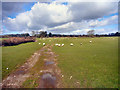
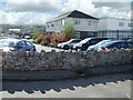

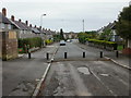
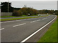
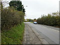

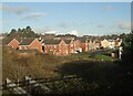
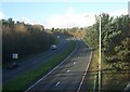

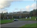
24 photos from this area
Area Information
Key information about the CF35 6BX including its size, population, and administrative classification.
- Area Type
- Postcode
- Area Size
- 1.2 hectares
- Population
- 2594
- Population Density
- 3811 people/km²
House Prices in CF35 6BX
34
Properties
£168,859
Average Sold Price
£101,900
Lowest Price
£325,000
Highest Price
Showing 34 properties
| Address | Type | Beds | Baths | Last Sale Price | Last Sale Date | |
|---|---|---|---|---|---|---|
| 4 Clos Joslin, Litchard, Bridgend, CF35 6BX | Detached | 3 | 2 | £307,500 | Sep 2025 | |
| 21 Clos Joslin, Litchard, Bridgend, CF35 6BX | Semi-detached | 3 | 1 | £205,000 | Aug 2024 | |
| 26 Clos Joslin, Litchard, Bridgend, CF35 6BX | house | - | - | £325,000 | Nov 2023 | |
| 32 Clos Joslin, Litchard, Bridgend, CF35 6BX | Semi-detached | 2 | 2 | £182,500 | May 2023 | |
| 29 Clos Joslin, Litchard, Bridgend, CF35 6BX | Semi-detached | 2 | - | £165,000 | Feb 2022 | |
| 9 Clos Joslin, Litchard, Bridgend, CF35 6BX | house | - | - | £280,000 | Jun 2021 | |
| 14 Clos Joslin, Litchard, Bridgend, CF35 6BX | house | - | - | £157,000 | Jun 2021 | |
| 31 Clos Joslin, Litchard, Bridgend, CF35 6BX | Semi-detached | 2 | 1 | £140,000 | Dec 2019 | |
| 6 Clos Joslin, Litchard, Bridgend, CF35 6BX | Semi-detached | 3 | 2 | £144,000 | Aug 2018 | |
| 20 Clos Joslin, Litchard, Bridgend, CF35 6BX | Semi-detached | 3 | 1 | £145,950 | Feb 2018 |
Page 1 of 4
Energy Efficiency in CF35 6BX
Amenities
Schools
| Rank | School | Type | Entry gender | Ages |
|---|
Explore more schools in this area
Go to Schools tabDemographics
Household Size
Two person
most common
Accommodation Type
Houses
most common
Tenure
72
majority
Ethnic Group
White
most common
Religion
N/A
most common
Household Composition
N/A
most common
Age
47
median
Adults (30-64 years)
most common
Household Deprivation
N/A
with no deprivation
NS-SEC
33
in Lower managerial occupations
Explore more demographic insights in this area
Go to Demographics tabPlanning
Planning Constraints
- Flood RiskPremium
- Ramsar Wetland SitesPremium
- Area of Outstanding Natural BeautyPremium
- Protected Nature ReservePremium
- Protected WoodlandPremium
- Crime RiskPremium