Area Overview for CF33 6HN
Photos of CF33 6HN
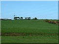
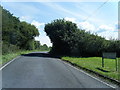
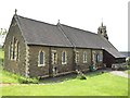
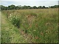
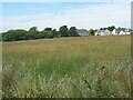
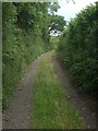
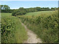
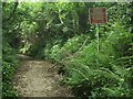
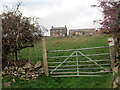
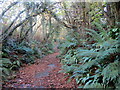
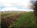
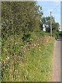
20 photos from this area
Area Information
Key information about the CF33 6HN including its size, population, and administrative classification.
- Area Type
- Postcode
- Area Size
- 4.9 hectares
- Population
- 1416
- Population Density
- 1653 people/km²
House Prices in CF33 6HN
42
Properties
£116,782
Average Sold Price
£38,000
Lowest Price
£243,000
Highest Price
Showing 42 properties
| Address | Type | Beds | Baths | Last Sale Price | Last Sale Date | |
|---|---|---|---|---|---|---|
| 34 Llwyn Helig, Kenfig Hill, Bridgend, CF33 6HN | Detached | 3 | 2 | £185,000 | Feb 2025 | |
| 32 Llwyn Helig, Kenfig Hill, Bridgend, CF33 6HN | Semi-detached | 3 | 2 | £243,000 | Nov 2024 | |
| 15 Llwyn Helig, Kenfig Hill, Bridgend, CF33 6HN | Detached | 3 | 3 | £230,000 | Jun 2024 | |
| 19 Llwyn Helig, Kenfig Hill, Bridgend, CF33 6HN | Terraced | 2 | 1 | £141,000 | Aug 2023 | |
| 8 Llwyn Helig, Kenfig Hill, Bridgend, CF33 6HN | Detached | 3 | - | £235,000 | Feb 2022 | |
| 14 Llwyn Helig, Kenfig Hill, Bridgend, CF33 6HN | Detached | 3 | 3 | £219,950 | Sep 2021 | |
| 38 Llwyn Helig, Kenfig Hill, Bridgend, CF33 6HN | Detached | 4 | 2 | £218,000 | Aug 2020 | |
| 5 Llwyn Helig, Kenfig Hill, Bridgend, CF33 6HN | Semi-detached | 2 | 1 | £110,000 | Mar 2020 | |
| 22 Llwyn Helig, Kenfig Hill, Bridgend, CF33 6HN | Terraced | 2 | 1 | £120,000 | Dec 2018 | |
| 12 Llwyn Helig, Kenfig Hill, Bridgend, CF33 6HN | Terraced | 2 | 1 | £93,500 | Nov 2018 |
Page 1 of 5
Energy Efficiency in CF33 6HN
Amenities
Schools
| Rank | School | Type | Entry gender | Ages |
|---|
Explore more schools in this area
Go to Schools tabDemographics
Household Size
Two person
most common
Accommodation Type
Houses
most common
Tenure
75
majority
Ethnic Group
White
most common
Religion
N/A
most common
Household Composition
N/A
most common
Age
47
median
Adults (30-64 years)
most common
Household Deprivation
N/A
with no deprivation
NS-SEC
29
in Lower managerial occupations
Explore more demographic insights in this area
Go to Demographics tabPlanning
Planning Constraints
- Flood RiskPremium
- Ramsar Wetland SitesPremium
- Area of Outstanding Natural BeautyPremium
- Protected Nature ReservePremium
- Protected WoodlandPremium
- Crime RiskPremium