Area Overview for CF33 4RT
Photos of CF33 4RT
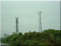
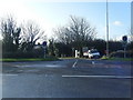

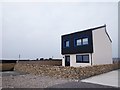
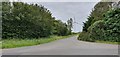
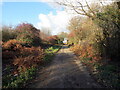
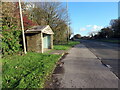
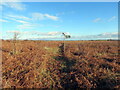
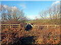


21 photos from this area
Area Information
Key information about the CF33 4RT including its size, population, and administrative classification.
- Area Type
- Postcode
- Area Size
- 7.4 hectares
- Population
- 1568
- Population Density
- 72 people/km²
House Prices in CF33 4RT
15
Properties
£131,132
Average Sold Price
£75,000
Lowest Price
£220,000
Highest Price
Showing 15 properties
| Address | Type | Beds | Baths | Last Sale Price | Last Sale Date | |
|---|---|---|---|---|---|---|
| Melrose House, Stormy Down, Bridgend, CF33 4RT | Terraced | 3 | 2 | £220,000 | Dec 2025 | |
| Hillcrest, Stormy Down, Bridgend, CF33 4RT | house | - | - | £170,000 | Jul 2022 | |
| Pentre, Stormy Down, Bridgend, CF33 4RT | Terraced | 2 | 1 | £100,000 | Jul 2017 | |
| Manderlay, Stormy Down, Bridgend, CF33 4RT | Semi-detached | 3 | 2 | £182,500 | May 2015 | |
| House G, Stormy Down, Bridgend, CF33 4RT | Semi-detached | 2 | 1 | £89,950 | Jan 2014 | |
| Y Bwthyn, Stormy Down, Bridgend, CF33 4RT | house | - | - | £92,000 | Nov 2012 | |
| Swyn Y Don, Stormy Down, Bridgend, CF33 4RT | Terraced | 4 | 2 | £128,000 | Jul 2010 | |
| Derwen, Stormy Down, Bridgend, CF33 4RT | house | 2 | - | £75,000 | Sep 2009 | |
| Lilliput, Stormy Down, Bridgend, CF33 4RT | Terraced | - | - | £90,000 | Sep 2007 | |
| Little Holme, Stormy Down, Bridgend, CF33 4RT | house | - | - | £110,000 | Aug 2007 |
Page 1 of 2
Energy Efficiency in CF33 4RT
Amenities
Schools
| Rank | School | Type | Entry gender | Ages |
|---|
Explore more schools in this area
Go to Schools tabDemographics
Household Size
Two person
most common
Accommodation Type
Houses
most common
Tenure
80
majority
Ethnic Group
White
most common
Religion
N/A
most common
Household Composition
N/A
most common
Age
47
median
Adults (30-64 years)
most common
Household Deprivation
N/A
with no deprivation
NS-SEC
45
in Lower managerial occupations
Explore more demographic insights in this area
Go to Demographics tabPlanning
Planning Constraints
- Flood RiskPremium
- Ramsar Wetland SitesPremium
- Area of Outstanding Natural BeautyPremium
- Protected Nature ReservePremium
- Protected WoodlandPremium
- Crime RiskPremium