Area Overview for CF33 4LP
Photos of CF33 4LP
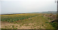
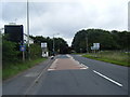

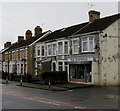
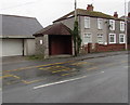
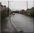
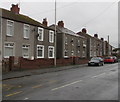
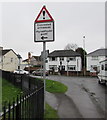
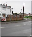
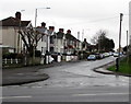
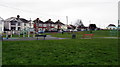
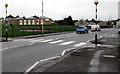
95 photos from this area
Area Information
Key information about the CF33 4LP including its size, population, and administrative classification.
- Area Type
- Postcode
- Area Size
- 8617 m²
- Population
- 1393
- Population Density
- 1742 people/km²
House Prices in CF33 4LP
40
Properties
£99,938
Average Sold Price
£33,750
Lowest Price
£200,000
Highest Price
Showing 40 properties
| Address | Type | Beds | Baths | Last Sale Price | Last Sale Date | |
|---|---|---|---|---|---|---|
| 1 Plumley Close, North Cornelly, Bridgend, CF33 4LP | Terraced | 3 | 1 | £200,000 | Apr 2025 | |
| 44 Plumley Close, North Cornelly, Bridgend, CF33 4LP | Flat | 1 | 1 | £80,000 | Oct 2022 | |
| 3 Plumley Close, North Cornelly, Bridgend, CF33 4LP | Terraced | - | - | £86,000 | Apr 2005 | |
| 8 Plumley Close, North Cornelly, Bridgend, CF33 4LP | Flat | - | - | £33,750 | Jun 2004 | |
| 17 Plumley Close, North Cornelly, Bridgend, CF33 4LP | house | - | - | - | - | |
| 21 Plumley Close, North Cornelly, Bridgend, CF33 4LP | house | - | - | - | - | |
| 15 Plumley Close, North Cornelly, Bridgend, CF33 4LP | house | - | - | - | - | |
| 31 Plumley Close, North Cornelly, Bridgend, CF33 4LP | house | - | - | - | - | |
| 19 Plumley Close, North Cornelly, Bridgend, CF33 4LP | house | - | - | - | - | |
| 29 Plumley Close, North Cornelly, Bridgend, CF33 4LP | house | - | - | - | - |
Page 1 of 4
Energy Efficiency in CF33 4LP
Amenities
Schools
| Rank | School | Type | Entry gender | Ages |
|---|
Explore more schools in this area
Go to Schools tabDemographics
Household Size
Two person
most common
Accommodation Type
Houses
most common
Tenure
62
majority
Ethnic Group
White
most common
Religion
N/A
most common
Household Composition
N/A
most common
Age
47
median
Adults (30-64 years)
most common
Household Deprivation
N/A
with no deprivation
NS-SEC
23
in Lower managerial occupations
Explore more demographic insights in this area
Go to Demographics tabPlanning
Planning Constraints
- Flood RiskPremium
- Ramsar Wetland SitesPremium
- Area of Outstanding Natural BeautyPremium
- Protected Nature ReservePremium
- Protected WoodlandPremium
- Crime RiskPremium