Area Overview for CF32 7HW
Photos of CF32 7HW
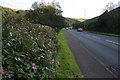
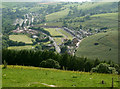
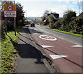
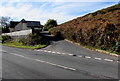

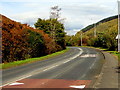
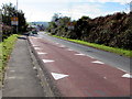
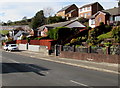
26 photos from this area
Area Information
Key information about the CF32 7HW including its size, population, and administrative classification.
- Area Type
- Postcode
- Area Size
- 3.6 hectares
- Population
- 1420
- Population Density
- 223 people/km²
House Prices in CF32 7HW
36
Properties
£148,042
Average Sold Price
£80,000
Lowest Price
£247,000
Highest Price
Showing 36 properties
| Address | Type | Beds | Baths | Last Sale Price | Last Sale Date | |
|---|---|---|---|---|---|---|
| 20 Cwrt Pant Yr Awel, Lewistown, Ogmore Vale, CF32 7HW | Semi-detached | 3 | 3 | £190,000 | Jul 2025 | |
| 15 Cwrt Pant Yr Awel, Lewistown, Ogmore Vale, CF32 7HW | Semi-detached | 3 | 1 | £189,000 | Jul 2024 | |
| 11 Cwrt Pant Yr Awel, Lewistown, Ogmore Vale, CF32 7HW | house | 3 | 1 | £187,000 | Jul 2024 | |
| 26 Cwrt Pant Yr Awel, Lewistown, Ogmore Vale, CF32 7HW | Terraced | 2 | 1 | £155,000 | Jun 2024 | |
| 8 Cwrt Pant Yr Awel, Lewistown, Ogmore Vale, CF32 7HW | Terraced | 3 | 1 | £206,000 | Nov 2022 | |
| 34 Cwrt Pant Yr Awel, Lewistown, Ogmore Vale, CF32 7HW | Detached | 4 | 2 | £247,000 | Sep 2022 | |
| 3 Cwrt Pant Yr Awel, Lewistown, Ogmore Vale, CF32 7HW | Terraced | 2 | 1 | £135,000 | Jun 2022 | |
| 31 Cwrt Pant Yr Awel, Lewistown, Ogmore Vale, CF32 7HW | Detached | 4 | - | £197,000 | Jan 2021 | |
| 1 Cwrt Pant Yr Awel, Lewistown, Ogmore Vale, CF32 7HW | Detached | 3 | 2 | £185,000 | Dec 2020 | |
| 13 Cwrt Pant Yr Awel, Lewistown, Ogmore Vale, CF32 7HW | Terraced | 2 | 1 | £112,000 | Aug 2020 |
Page 1 of 4
Energy Efficiency in CF32 7HW
Amenities
Schools
| Rank | School | Type | Entry gender | Ages |
|---|
Explore more schools in this area
Go to Schools tabDemographics
Household Size
Two person
most common
Accommodation Type
Houses
most common
Tenure
61
majority
Ethnic Group
White
most common
Religion
N/A
most common
Household Composition
N/A
most common
Age
47
median
Adults (30-64 years)
most common
Household Deprivation
N/A
with no deprivation
NS-SEC
23
in Lower managerial occupations
Explore more demographic insights in this area
Go to Demographics tabPlanning
Planning Constraints
- Flood RiskPremium
- Ramsar Wetland SitesPremium
- Area of Outstanding Natural BeautyPremium
- Protected Nature ReservePremium
- Protected WoodlandPremium
- Crime RiskPremium