Area Overview for CF31 4DY
Photos of CF31 4DY
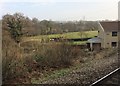
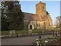
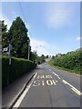
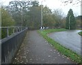
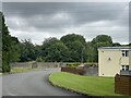
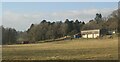
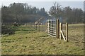
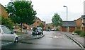
25 photos from this area
Area Information
Key information about the CF31 4DY including its size, population, and administrative classification.
- Area Type
- Postcode
- Area Size
- 2.3 hectares
- Population
- 1689
- Population Density
- 2301 people/km²
House Prices in CF31 4DY
54
Properties
£163,496
Average Sold Price
£45,000
Lowest Price
£260,000
Highest Price
Showing 54 properties
| Address | Type | Beds | Baths | Last Sale Price | Last Sale Date | |
|---|---|---|---|---|---|---|
| 79 Wood Green, Cefn Glas, Bridgend, CF31 4DY | Terraced | 4 | 2 | £260,000 | Feb 2025 | |
| 115 Wood Green, Bridgend, CF31 4DY | Detached | 4 | 2 | £255,000 | Jan 2025 | |
| 71 Wood Green, Cefn Glas, Bridgend, CF31 4DY | house | - | - | £225,000 | Sep 2024 | |
| 92 Wood Green, Cefn Glas, Bridgend, CF31 4DY | Maisonette | - | - | £142,000 | Oct 2022 | |
| 111 Wood Green, Cefn Glas, Bridgend, CF31 4DY | house | 3 | 1 | £185,000 | Aug 2022 | |
| 108 Wood Green, Cefn Glas, Bridgend, CF31 4DY | house | 3 | 2 | £194,950 | Mar 2022 | |
| 113 Wood Green, Cefn Glas, Bridgend, CF31 4DY | house | - | - | £154,500 | Feb 2022 | |
| 105 Wood Green, Cefn Glas, Bridgend, CF31 4DY | house | 3 | 2 | £182,000 | Jun 2021 | |
| 81 Wood Green, Cefn Glas, Bridgend, CF31 4DY | house | - | - | £197,500 | May 2021 | |
| 112 Wood Green, Cefn Glas, Bridgend, CF31 4DY | Terraced | 3 | 1 | £140,500 | Mar 2021 |
Page 1 of 6
Energy Efficiency in CF31 4DY
Amenities
Schools
| Rank | School | Type | Entry gender | Ages |
|---|
Explore more schools in this area
Go to Schools tabDemographics
Household Size
Two person
most common
Accommodation Type
Houses
most common
Tenure
80
majority
Ethnic Group
White
most common
Religion
N/A
most common
Household Composition
N/A
most common
Age
47
median
Adults (30-64 years)
most common
Household Deprivation
N/A
with no deprivation
NS-SEC
28
in Lower managerial occupations
Explore more demographic insights in this area
Go to Demographics tabPlanning
Planning Constraints
- Flood RiskPremium
- Ramsar Wetland SitesPremium
- Area of Outstanding Natural BeautyPremium
- Protected Nature ReservePremium
- Protected WoodlandPremium
- Crime RiskPremium