Area Overview for CF31 1QD
Photos of CF31 1QD
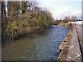
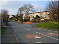
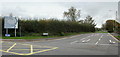
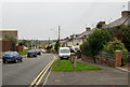
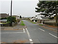
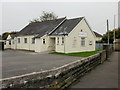
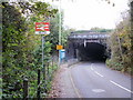
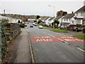
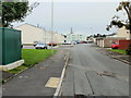
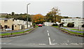
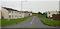
86 photos from this area
Area Information
Key information about the CF31 1QD including its size, population, and administrative classification.
- Area Type
- Postcode
- Area Size
- 8034 m²
- Population
- 2549
- Population Density
- 2106 people/km²
House Prices in CF31 1QD
17
Properties
£177,661
Average Sold Price
£54,000
Lowest Price
£249,950
Highest Price
Showing 17 properties
| Address | Type | Beds | Baths | Last Sale Price | Last Sale Date | |
|---|---|---|---|---|---|---|
| 61 Bryn Llidiard, Litchard, Bridgend, CF31 1QD | Bungalow | 3 | 1 | £230,000 | Jun 2025 | |
| 53 Bryn Llidiard, Litchard, Bridgend, CF31 1QD | Bungalow | 2 | 1 | £205,000 | Mar 2024 | |
| 69 Bryn Llidiard, Litchard, Bridgend, CF31 1QD | Semi-detached | 3 | 1 | £225,000 | Oct 2023 | |
| 67 Bryn Llidiard, Litchard, Bridgend, CF31 1QD | Semi-detached | 3 | 2 | £249,950 | Mar 2022 | |
| 59 Bryn Llidiard, Litchard, Bridgend, CF31 1QD | Bungalow | 4 | 1 | £202,000 | Aug 2019 | |
| 78 Bryn Llidiard, Litchard, Bridgend, CF31 1QD | Detached | 4 | 2 | £197,000 | Aug 2012 | |
| 57 Bryn Llidiard, Litchard, Bridgend, CF31 1QD | Bungalow | 2 | 1 | £110,000 | Apr 2009 | |
| 76 Bryn Llidiard, Litchard, Bridgend, CF31 1QD | Detached | - | - | £126,000 | May 2002 | |
| 71 Bryn Llidiard, Litchard, Bridgend, CF31 1QD | Semi-detached | 5 | 2 | £54,000 | Sep 2000 | |
| 74 Bryn Llidiard, Litchard, Bridgend, CF31 1QD | Semi-detached | - | - | - | - |
Page 1 of 2
Energy Efficiency in CF31 1QD
Amenities
Schools
| Rank | School | Type | Entry gender | Ages |
|---|
Explore more schools in this area
Go to Schools tabDemographics
Household Size
Two person
most common
Accommodation Type
Houses
most common
Tenure
91
majority
Ethnic Group
White
most common
Religion
N/A
most common
Household Composition
N/A
most common
Age
47
median
Adults (30-64 years)
most common
Household Deprivation
N/A
with no deprivation
NS-SEC
43
in Lower managerial occupations
Explore more demographic insights in this area
Go to Demographics tabPlanning
Planning Constraints
- Flood RiskPremium
- Ramsar Wetland SitesPremium
- Area of Outstanding Natural BeautyPremium
- Protected Nature ReservePremium
- Protected WoodlandPremium
- Crime RiskPremium