Area Overview for WF11 8ST
Photos of WF11 8ST
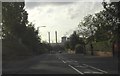
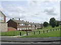
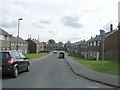
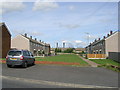
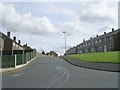

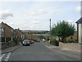
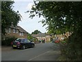
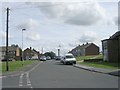
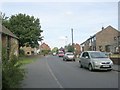
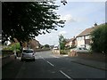
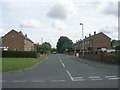
91 photos from this area
Area Information
Key information about the WF11 8ST including its size, population, and administrative classification.
- Area Type
- Postcode
- Area Size
- 5566 m²
- Population
- 1410
- Population Density
- 2440 people/km²
House Prices in WF11 8ST
18
Properties
£111,678
Average Sold Price
£45,000
Lowest Price
£185,000
Highest Price
Showing 18 properties
| Address | Type | Beds | Baths | Last Sale Price | Last Sale Date | |
|---|---|---|---|---|---|---|
| 55 Shelley Drive, Knottingley, WF11 8ST | Retail | 3 | - | £185,000 | Jul 2022 | |
| 57 Shelley Drive, Knottingley, WF11 8ST | house | - | - | £135,000 | Apr 2021 | |
| 51 Shelley Drive, Knottingley, WF11 8ST | house | 3 | 1 | £90,000 | Dec 2020 | |
| 52 Shelley Drive, Knottingley, WF11 8ST | Semi-detached | 3 | 1 | £132,000 | Nov 2020 | |
| 48 Shelley Drive, Knottingley, WF11 8ST | Semi-detached | 3 | 1 | £102,000 | Apr 2018 | |
| 43 Shelley Drive, Knottingley, WF11 8ST | Semi-detached | 3 | 1 | £110,000 | May 2017 | |
| 59 Shelley Drive, Knottingley, WF11 8ST | Semi-detached | 3 | 1 | £108,000 | Feb 2017 | |
| 39 Shelley Drive, Knottingley, WF11 8ST | Semi-detached | 3 | - | £95,000 | Feb 2014 | |
| 45 Shelley Drive, Knottingley, WF11 8ST | house | 5 | - | £124,995 | Dec 2012 | |
| 44 Shelley Drive, Knottingley, WF11 8ST | house | - | - | £117,500 | Nov 2007 |
Page 1 of 2
Energy Efficiency in WF11 8ST
Amenities
Schools
| Rank | School | Type | Entry gender | Ages |
|---|
Explore more schools in this area
Go to Schools tabDemographics
Household Size
Two person
most common
Accommodation Type
Houses
most common
Tenure
68
majority
Ethnic Group
White
most common
Religion
N/A
most common
Household Composition
N/A
most common
Age
47
median
Adults (30-64 years)
most common
Household Deprivation
N/A
with no deprivation
NS-SEC
21
in Lower managerial occupations
Explore more demographic insights in this area
Go to Demographics tabPlanning
Planning Constraints
- Flood RiskPremium
- Ramsar Wetland SitesPremium
- Area of Outstanding Natural BeautyPremium
- Protected Nature ReservePremium
- Protected WoodlandPremium