Area Overview for WF11 8RH
Photos of WF11 8RH
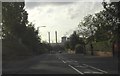
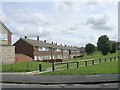
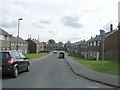
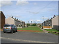
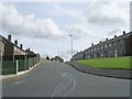
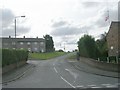
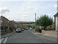
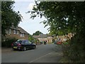
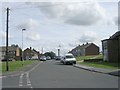
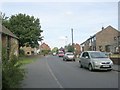
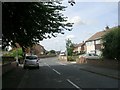
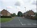
91 photos from this area
Area Information
Key information about the WF11 8RH including its size, population, and administrative classification.
- Area Type
- Postcode
- Area Size
- 1.6 hectares
- Population
- 1410
- Population Density
- 2440 people/km²
House Prices in WF11 8RH
40
Properties
£106,689
Average Sold Price
£44,000
Lowest Price
£195,000
Highest Price
Showing 40 properties
| Address | Type | Beds | Baths | Last Sale Price | Last Sale Date | |
|---|---|---|---|---|---|---|
| 58 Arncliffe Drive, Knottingley, WF11 8RH | Semi-detached | 3 | 1 | £185,000 | Dec 2024 | |
| 45 Arncliffe Drive, Knottingley, WF11 8RH | Semi-detached | - | - | £195,000 | Oct 2024 | |
| 57 Arncliffe Drive, Knottingley, WF11 8RH | Semi-detached | 3 | 1 | £167,000 | Jan 2024 | |
| 63 Arncliffe Drive, Knottingley, WF11 8RH | Semi-detached | 3 | 1 | £110,500 | Feb 2023 | |
| 38 Arncliffe Drive, Knottingley, WF11 8RH | house | - | - | £130,000 | Apr 2022 | |
| 75 Arncliffe Drive, Knottingley, WF11 8RH | Detached | 3 | 1 | £150,000 | Jan 2020 | |
| 54 Arncliffe Drive, Knottingley, WF11 8RH | Semi-detached | 3 | 1 | £110,000 | Mar 2019 | |
| 51 Arncliffe Drive, Knottingley, WF11 8RH | Semi-detached | 3 | 1 | £125,000 | Jul 2018 | |
| 59 Arncliffe Drive, Knottingley, WF11 8RH | Semi-detached | 3 | 1 | £93,950 | Mar 2018 | |
| 41 Arncliffe Drive, Knottingley, WF11 8RH | Bungalow | 2 | - | £106,000 | Dec 2017 |
Page 1 of 4
Energy Efficiency in WF11 8RH
Amenities
Schools
| Rank | School | Type | Entry gender | Ages |
|---|
Explore more schools in this area
Go to Schools tabDemographics
Household Size
Two person
most common
Accommodation Type
Houses
most common
Tenure
68
majority
Ethnic Group
White
most common
Religion
N/A
most common
Household Composition
N/A
most common
Age
47
median
Adults (30-64 years)
most common
Household Deprivation
N/A
with no deprivation
NS-SEC
21
in Lower managerial occupations
Explore more demographic insights in this area
Go to Demographics tabPlanning
Planning Constraints
- Flood RiskPremium
- Ramsar Wetland SitesPremium
- Area of Outstanding Natural BeautyPremium
- Protected Nature ReservePremium
- Protected WoodlandPremium