Area Overview for LS21 2DB
Photos of LS21 2DB

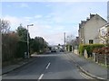
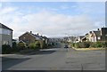
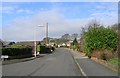
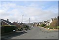
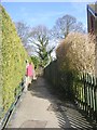
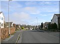
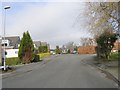
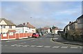
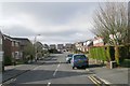
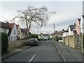
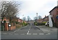
100 photos from this area
Area Information
Key information about the LS21 2DB including its size, population, and administrative classification.
- Area Type
- Postcode
- Area Size
- 8.2 hectares
- Population
- 1613
- Population Density
- 1271 people/km²
House Prices in LS21 2DB
53
Properties
£187,376
Average Sold Price
£29,900
Lowest Price
£715,000
Highest Price
Showing 53 properties
| Address | Type | Beds | Baths | Last Sale Price | Last Sale Date | |
|---|---|---|---|---|---|---|
| 47 Weston Lane, Otley, LS21 2DB | Terraced | 2 | 1 | £250,000 | Feb 2025 | |
| 63 Weston Lane, Otley, LS21 2DB | Terraced | 3 | 2 | £260,000 | Jan 2022 | |
| 30 Weston Lane, Otley, LS21 2DB | house | - | - | £315,000 | Dec 2020 | |
| 28 Weston Lane, Otley, LS21 2DB | Detached | 3 | 2 | £350,000 | Sep 2019 | |
| 5 Weston Lane, Otley, LS21 2DB | house | - | - | £220,000 | Sep 2019 | |
| 19 Weston Lane, Otley, LS21 2DB | Flat | 2 | 1 | £136,000 | Dec 2018 | |
| 17 Weston Lane, Otley, LS21 2DB | house | - | - | £169,950 | Jan 2018 | |
| 34 Weston Lane, Otley, LS21 2DB | house | - | - | £253,000 | Mar 2016 | |
| 40 Weston Lane, Otley, LS21 2DB | house | - | - | £240,000 | Dec 2015 | |
| 3 Weston Lane, Otley, LS21 2DB | Semi-detached | 3 | - | £171,000 | Feb 2015 |
Page 1 of 6
Energy Efficiency in LS21 2DB
Amenities
Schools
| Rank | School | Type | Entry gender | Ages |
|---|
Explore more schools in this area
Go to Schools tabDemographics
Household Size
One person
most common
Accommodation Type
Houses
most common
Tenure
50
majority
Ethnic Group
White
most common
Religion
N/A
most common
Household Composition
N/A
most common
Age
47
median
Adults (30-64 years)
most common
Household Deprivation
N/A
with no deprivation
NS-SEC
22
in Lower managerial occupations
Explore more demographic insights in this area
Go to Demographics tabPlanning
Planning Constraints
- Flood RiskPremium
- Ramsar Wetland SitesPremium
- Area of Outstanding Natural BeautyPremium
- Protected Nature ReservePremium
- Protected WoodlandPremium