Area Overview for LS21 2DJ
Photos of LS21 2DJ
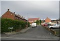
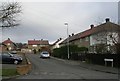
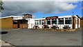
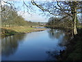
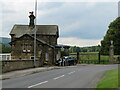
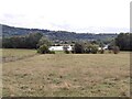
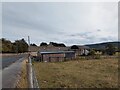
34 photos from this area
Area Information
Key information about the LS21 2DJ including its size, population, and administrative classification.
- Area Type
- Postcode
- Area Size
- 1.5 hectares
- Population
- 1613
- Population Density
- 1271 people/km²
House Prices in LS21 2DJ
44
Properties
£135,079
Average Sold Price
£40,000
Lowest Price
£265,000
Highest Price
Showing 44 properties
| Address | Type | Beds | Baths | Last Sale Price | Last Sale Date | |
|---|---|---|---|---|---|---|
| 120 Weston Drive, Otley, LS21 2DJ | house | - | - | £265,000 | Jun 2024 | |
| 126 Weston Drive, Otley, LS21 2DJ | house | - | - | £220,000 | Aug 2022 | |
| 156 Weston Drive, Otley, LS21 2DJ | house | - | - | £190,000 | Aug 2021 | |
| 79 Weston Drive, Otley, LS21 2DJ | house | - | - | £165,000 | Jan 2020 | |
| 116 Weston Drive, Otley, LS21 2DJ | house | 2 | 1 | £175,000 | May 2018 | |
| 77 Weston Drive, Otley, LS21 2DJ | Terraced | 3 | - | £129,500 | Jun 2016 | |
| 168 Weston Drive, Otley, LS21 2DJ | house | - | - | £150,000 | May 2016 | |
| 124 Weston Drive, Otley, LS21 2DJ | Terraced | 2 | 2 | £133,000 | Jun 2014 | |
| 122 Weston Drive, Otley, LS21 2DJ | house | - | - | £40,000 | Dec 2011 | |
| 154 Weston Drive, Otley, LS21 2DJ | house | 2 | - | £122,000 | Feb 2011 |
Page 1 of 5
Energy Efficiency in LS21 2DJ
Amenities
Schools
| Rank | School | Type | Entry gender | Ages |
|---|
Explore more schools in this area
Go to Schools tabDemographics
Household Size
One person
most common
Accommodation Type
Houses
most common
Tenure
50
majority
Ethnic Group
White
most common
Religion
N/A
most common
Household Composition
N/A
most common
Age
47
median
Adults (30-64 years)
most common
Household Deprivation
N/A
with no deprivation
NS-SEC
22
in Lower managerial occupations
Explore more demographic insights in this area
Go to Demographics tabPlanning
Planning Constraints
- Flood RiskPremium
- Ramsar Wetland SitesPremium
- Area of Outstanding Natural BeautyPremium
- Protected Nature ReservePremium
- Protected WoodlandPremium