Area Overview for DN20 8SG
Photos of DN20 8SG
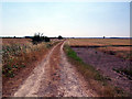
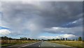

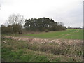
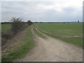
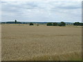
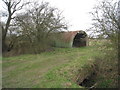
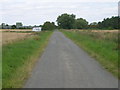
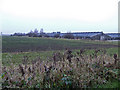
9 photos from this area
Area Information
Key information about the DN20 8SG including its size, population, and administrative classification.
- Area Type
- Postcode
- Area Size
- 1.8 km²
- Population
- 1773
- Population Density
- 158 people/km²
House Prices in DN20 8SG
18
Properties
£238,818
Average Sold Price
£65,000
Lowest Price
£610,000
Highest Price
Showing 18 properties
| Address | Type | Beds | Baths | Last Sale Price | Last Sale Date | |
|---|---|---|---|---|---|---|
| Greetings, Star Carr Lane, Wrawby, DN20 8SG | Bungalow | 3 | 1 | £256,000 | Dec 2022 | |
| The Rookery, Star Carr Lane, Wrawby, DN20 8SG | house | - | - | £610,000 | Jul 2022 | |
| Barakeden, Star Carr Lane, Wrawby, DN20 8SG | Detached | 3 | 1 | £155,000 | Jun 2019 | |
| Knockdolian, Star Carr Lane, Wrawby, DN20 8SG | Detached | 4 | 1 | £211,000 | Dec 2018 | |
| Country Cottage, Star Carr Lane, Wrawby, DN20 8SG | Bungalow | - | - | £147,500 | Aug 2016 | |
| Crisps, Star Carr Lane, Wrawby, DN20 8SG | house | 4 | - | £227,500 | Oct 2012 | |
| The Conifers, 5 Star Carr Lane, Wrawby, DN20 8SG | office_workshop | - | - | £155,000 | Nov 2009 | |
| Three Trees Farm, Star Carr Lane, Wrawby, DN20 8SG | Detached | - | - | £350,000 | Jul 2005 | |
| Wrawby Farm The Bungalow, Star Carr Lane, Wrawby, DN20 8SG | Bungalow | - | - | £350,000 | Jul 2005 | |
| Haelan House, Star Carr Lane, Wrawby, DN20 8SG | Terraced | - | - | £100,000 | Jun 2002 |
Page 1 of 2
Energy Efficiency in DN20 8SG
Amenities
Schools
| Rank | School | Type | Entry gender | Ages |
|---|
Explore more schools in this area
Go to Schools tabDemographics
Household Size
Two person
most common
Accommodation Type
Houses
most common
Tenure
83
majority
Ethnic Group
White
most common
Religion
N/A
most common
Household Composition
N/A
most common
Age
47
median
Adults (30-64 years)
most common
Household Deprivation
N/A
with no deprivation
NS-SEC
37
in Lower managerial occupations
Explore more demographic insights in this area
Go to Demographics tabPlanning
Planning Constraints
- Flood RiskPremium
- Ramsar Wetland SitesPremium
- Area of Outstanding Natural BeautyPremium
- Protected Nature ReservePremium
- Protected WoodlandPremium