Area Overview for DN20 8SB
Photos of DN20 8SB
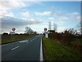
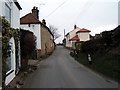
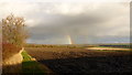
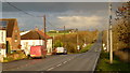
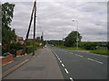
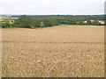
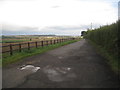
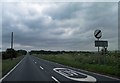

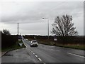
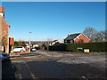
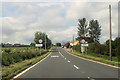
12 photos from this area
Area Information
Key information about the DN20 8SB including its size, population, and administrative classification.
- Area Type
- Postcode
- Area Size
- 54.4 hectares
- Population
- 1773
- Population Density
- 158 people/km²
House Prices in DN20 8SB
16
Properties
£201,095
Average Sold Price
£57,950
Lowest Price
£435,000
Highest Price
Showing 16 properties
| Address | Type | Beds | Baths | Last Sale Price | Last Sale Date | |
|---|---|---|---|---|---|---|
| Lyndene, Chapel Lane, Wrawby, DN20 8SB | Bungalow | - | - | £170,000 | Apr 2024 | |
| Rose Cottage, Chapel Lane, Wrawby, DN20 8SB | Detached | 4 | 2 | £435,000 | Jun 2022 | |
| The Old Chapel, Chapel Lane, Wrawby, DN20 8SB | house | 5 | 3 | £400,000 | Jan 2021 | |
| Claydon, Chapel Lane, Wrawby, DN20 8SB | Bungalow | 3 | 1 | £115,000 | Aug 2014 | |
| Ivy Cottage, Chapel Lane, Wrawby, DN20 8SB | Cottage | 3 | 2 | £190,000 | Jul 2014 | |
| Hope House, Chapel Lane, Wrawby, DN20 8SB | house | 4 | - | £250,000 | Apr 2013 | |
| Oakwood Cottage, Chapel Lane, Wrawby, DN20 8SB | house | - | - | £138,500 | Sep 2009 | |
| Holly Cottage, Chapel Lane, Wrawby, DN20 8SB | Semi-detached | - | - | £195,500 | Oct 2007 | |
| 2 Chapel Lane, Wrawby, DN20 8SB | Semi-detached | - | - | £57,950 | Mar 2002 | |
| Chartwell Cottage, Chapel Lane, Wrawby, DN20 8SB | house | 3 | 1 | £59,000 | Jul 1996 |
Page 1 of 2
Energy Efficiency in DN20 8SB
Amenities
Schools
| Rank | School | Type | Entry gender | Ages |
|---|
Explore more schools in this area
Go to Schools tabDemographics
Household Size
Two person
most common
Accommodation Type
Houses
most common
Tenure
83
majority
Ethnic Group
White
most common
Religion
N/A
most common
Household Composition
N/A
most common
Age
47
median
Adults (30-64 years)
most common
Household Deprivation
N/A
with no deprivation
NS-SEC
37
in Lower managerial occupations
Explore more demographic insights in this area
Go to Demographics tabPlanning
Planning Constraints
- Flood RiskPremium
- Ramsar Wetland SitesPremium
- Area of Outstanding Natural BeautyPremium
- Protected Nature ReservePremium
- Protected WoodlandPremium