Area Overview for BD19 4AR
Photos of BD19 4AR
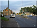
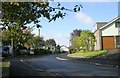
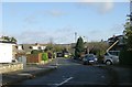
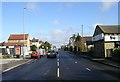
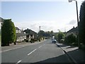
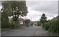
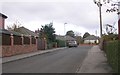
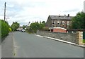
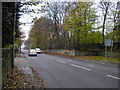
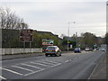
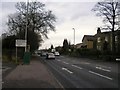
100 photos from this area
Area Information
Key information about the BD19 4AR including its size, population, and administrative classification.
- Area Type
- Postcode
- Area Size
- 11.8 hectares
- Population
- 1644
- Population Density
- 514 people/km²
House Prices in BD19 4AR
24
Properties
£302,100
Average Sold Price
£112,500
Lowest Price
£595,000
Highest Price
Showing 24 properties
| Address | Type | Beds | Baths | Last Sale Price | Last Sale Date | |
|---|---|---|---|---|---|---|
| 148 Latham Lane, Gomersal, Cleckheaton, BD19 4AR | Terraced | 2 | 1 | £230,000 | Apr 2025 | |
| 144 Latham Lane, Gomersal, Cleckheaton, BD19 4AR | Detached | 4 | 2 | £595,000 | Jul 2022 | |
| 146 Latham Lane, Gomersal, Cleckheaton, BD19 4AR | house | - | - | £343,000 | Apr 2020 | |
| 215 Latham Lane, Gomersal, Cleckheaton, BD19 4AR | house | - | - | £400,000 | May 2019 | |
| 180 Latham Lane, Gomersal, Cleckheaton, BD19 4AR | Detached | 4 | - | £523,000 | Mar 2019 | |
| Lower Langley Barn, 195 Latham Lane, Gomersal, Cleckheaton, BD19 4AR | house | - | - | £125,000 | Feb 2018 | |
| 201 Latham Lane, Gomersal, Cleckheaton, BD19 4AR | house | - | - | £357,500 | Aug 2017 | |
| 217 Latham Lane, Gomersal, Cleckheaton, BD19 4AR | house | - | - | £165,000 | Jul 2011 | |
| 170 Latham Lane, Gomersal, Cleckheaton, BD19 4AR | Terraced | - | - | £170,000 | Dec 2005 | |
| 182 Latham Lane, Gomersal, Cleckheaton, BD19 4AR | Terraced | - | - | £112,500 | Sep 1997 |
Page 1 of 3
Energy Efficiency in BD19 4AR
Amenities
Schools
| Rank | School | Type | Entry gender | Ages |
|---|
Explore more schools in this area
Go to Schools tabDemographics
Household Size
Two person
most common
Accommodation Type
Houses
most common
Tenure
73
majority
Ethnic Group
White
most common
Religion
N/A
most common
Household Composition
N/A
most common
Age
47
median
Adults (30-64 years)
most common
Household Deprivation
N/A
with no deprivation
NS-SEC
42
in Lower managerial occupations
Explore more demographic insights in this area
Go to Demographics tabPlanning
Planning Constraints
- Flood RiskPremium
- Ramsar Wetland SitesPremium
- Area of Outstanding Natural BeautyPremium
- Protected Nature ReservePremium
- Protected WoodlandPremium