Area Overview for BD11 2PH
Photos of BD11 2PH
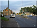
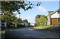
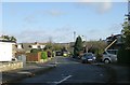
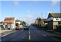
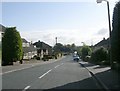
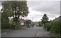
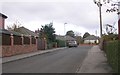
100 photos from this area
Area Information
Key information about the BD11 2PH including its size, population, and administrative classification.
- Area Type
- Postcode
- Area Size
- 6876 m²
- Population
- 1644
- Population Density
- 514 people/km²
House Prices in BD11 2PH
10
Properties
£126,570
Average Sold Price
£25,710
Lowest Price
£162,000
Highest Price
Showing 10 properties
| Address | Type | Beds | Baths | Last Sale Price | Last Sale Date | |
|---|---|---|---|---|---|---|
| 12 Emmet Court, Birkenshaw, Bradford, BD11 2PH | Flat | 1 | 1 | £110,000 | Sep 2024 | |
| 18 Emmet Court, Birkenshaw, Bradford, BD11 2PH | Flat | - | - | £120,000 | Nov 2022 | |
| 6 Emmet Court, Birkenshaw, Bradford, BD11 2PH | Flat | - | - | £105,000 | Mar 2020 | |
| 2 Emmet Court, Birkenshaw, Bradford, BD11 2PH | Flat | - | - | £25,710 | Jun 2019 | |
| 20 Emmet Court, Birkenshaw, Bradford, BD11 2PH | house | - | - | £159,995 | Mar 2019 | |
| 16 Emmet Court, Birkenshaw, Bradford, BD11 2PH | Flat | - | - | £157,995 | Dec 2018 | |
| 8 Emmet Court, Birkenshaw, Bradford, BD11 2PH | Flat | - | - | £135,000 | Dec 2018 | |
| 4 Emmet Court, Birkenshaw, Bradford, BD11 2PH | Flat | - | - | £154,995 | Dec 2018 | |
| 10 Emmet Court, Birkenshaw, Bradford, BD11 2PH | Flat | 2 | 1 | £135,000 | Dec 2018 | |
| 14 Emmet Court, Birkenshaw, Bradford, BD11 2PH | Flat | 2 | 2 | £162,000 | Dec 2018 |
Energy Efficiency in BD11 2PH
Amenities
Schools
| Rank | School | Type | Entry gender | Ages |
|---|
Explore more schools in this area
Go to Schools tabDemographics
Household Size
Two person
most common
Accommodation Type
Houses
most common
Tenure
73
majority
Ethnic Group
White
most common
Religion
N/A
most common
Household Composition
N/A
most common
Age
47
median
Adults (30-64 years)
most common
Household Deprivation
N/A
with no deprivation
NS-SEC
42
in Lower managerial occupations
Explore more demographic insights in this area
Go to Demographics tabPlanning
Planning Constraints
- Flood RiskPremium
- Ramsar Wetland SitesPremium
- Area of Outstanding Natural BeautyPremium
- Protected Nature ReservePremium
- Protected WoodlandPremium