Area Overview for WV9 5AE
Photos of WV9 5AE
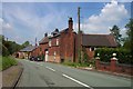
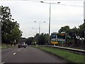
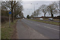
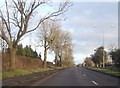
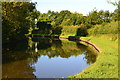
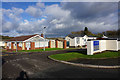
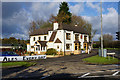
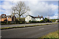
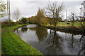
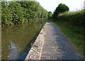
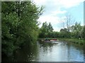
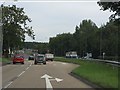
23 photos from this area
Area Information
Key information about the WV9 5AE including its size, population, and administrative classification.
- Area Type
- Postcode
- Area Size
- 3.9 hectares
- Population
- 1934
- Population Density
- 734 people/km²
House Prices in WV9 5AE
24
Properties
£208,250
Average Sold Price
£96,000
Lowest Price
£370,000
Highest Price
Showing 24 properties
| Address | Type | Beds | Baths | Last Sale Price | Last Sale Date | |
|---|---|---|---|---|---|---|
| Heythrop, Light Ash Lane, Coven, WV9 5AE | Bungalow | 2 | 1 | £370,000 | Feb 2024 | |
| 19 Light Ash Lane, Coven, WV9 5AE | Flat | 2 | 1 | £107,000 | Dec 2022 | |
| 33 Light Ash Lane, Coven, WV9 5AE | Flat | 2 | 1 | £96,000 | May 2018 | |
| The Old School, Light Ash Lane, Coven, WV9 5AE | house | - | - | £260,000 | Nov 2015 | |
| 31 Light Ash Lane, Coven, WV9 5AE | Flat | - | - | - | - | |
| 29 Light Ash Lane, Coven, WV9 5AE | Flat | - | - | - | - | |
| 21 Light Ash Lane, Coven, WV9 5AE | Flat | - | - | - | - | |
| Iona, Light Ash Lane, Coven, WV9 5AE | house | - | - | - | - | |
| 13 Light Ash Lane, Coven, WV9 5AE | Flat | - | - | - | - | |
| 23 Light Ash Lane, Coven, WV9 5AE | Flat | - | - | - | - |
Page 1 of 3
Energy Efficiency in WV9 5AE
Amenities
Schools
| Rank | School | Type | Entry gender | Ages |
|---|
Explore more schools in this area
Go to Schools tabDemographics
Household Size
Two person
most common
Accommodation Type
Houses
most common
Tenure
77
majority
Ethnic Group
White
most common
Religion
N/A
most common
Household Composition
N/A
most common
Age
47
median
Adults (30-64 years)
most common
Household Deprivation
N/A
with no deprivation
NS-SEC
34
in Lower managerial occupations
Explore more demographic insights in this area
Go to Demographics tabPlanning
Planning Constraints
- Flood RiskPremium
- Ramsar Wetland SitesPremium
- Area of Outstanding Natural BeautyPremium
- Protected Nature ReservePremium
- Protected WoodlandPremium