Area Overview for WV9 5AD
Photos of WV9 5AD
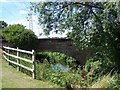
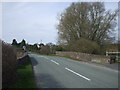
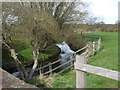
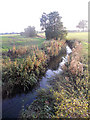
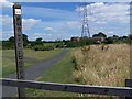
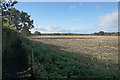
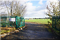
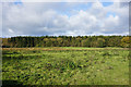
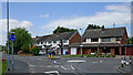
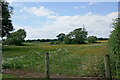
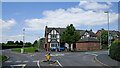
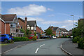
35 photos from this area
Area Information
Key information about the WV9 5AD including its size, population, and administrative classification.
- Area Type
- Postcode
- Area Size
- 4.0 hectares
- Population
- 1934
- Population Density
- 734 people/km²
House Prices in WV9 5AD
13
Properties
£186,374
Average Sold Price
£61,995
Lowest Price
£310,000
Highest Price
Showing 13 properties
| Address | Type | Beds | Baths | Last Sale Price | Last Sale Date | |
|---|---|---|---|---|---|---|
| 51 School Lane, Coven, WV9 5AD | Bungalow | 2 | 1 | £245,000 | Feb 2024 | |
| 49 School Lane, Coven, WV9 5AD | house | - | - | £310,000 | Dec 2021 | |
| The Annex, School Lane, Coven, WV9 5AD | house | - | - | £290,000 | Mar 2021 | |
| 33 School Lane, Coven, WV9 5AD | Bungalow | 2 | 1 | £205,000 | Feb 2019 | |
| 39 School Lane, Coven, WV9 5AD | Semi-detached | 2 | - | £140,000 | Jul 2013 | |
| 35 School Lane, Coven, WV9 5AD | Semi-detached | - | - | £177,000 | Aug 2004 | |
| 41 School Lane, Coven, WV9 5AD | Semi-detached | - | - | £62,000 | Jul 1997 | |
| 31 School Lane, Coven, WV9 5AD | Semi-detached | - | - | £61,995 | Apr 1997 | |
| 37 School Lane, Coven, WV9 5AD | Terraced | - | - | - | - | |
| 43 School Lane, Coven, WV9 5AD | Terraced | - | - | - | - |
Page 1 of 2
Energy Efficiency in WV9 5AD
Amenities
Schools
| Rank | School | Type | Entry gender | Ages |
|---|
Explore more schools in this area
Go to Schools tabDemographics
Household Size
Two person
most common
Accommodation Type
Houses
most common
Tenure
77
majority
Ethnic Group
White
most common
Religion
N/A
most common
Household Composition
N/A
most common
Age
47
median
Adults (30-64 years)
most common
Household Deprivation
N/A
with no deprivation
NS-SEC
34
in Lower managerial occupations
Explore more demographic insights in this area
Go to Demographics tabPlanning
Planning Constraints
- Flood RiskPremium
- Ramsar Wetland SitesPremium
- Area of Outstanding Natural BeautyPremium
- Protected Nature ReservePremium
- Protected WoodlandPremium