Area Overview for WV7 3AD
Photos of WV7 3AD
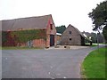
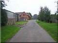
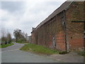
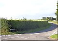
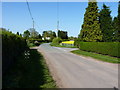
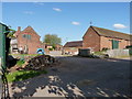
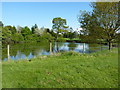
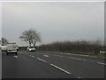
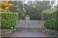
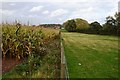
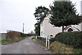
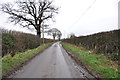
16 photos from this area
Area Information
Key information about the WV7 3AD including its size, population, and administrative classification.
- Area Type
- Postcode
- Area Size
- 1.9 km²
- Population
- 1931
- Population Density
- 148 people/km²
House Prices in WV7 3AD
12
Properties
£367,250
Average Sold Price
£92,500
Lowest Price
£695,000
Highest Price
Showing 12 properties
| Address | Type | Beds | Baths | Last Sale Price | Last Sale Date | |
|---|---|---|---|---|---|---|
| Lower Wood Farm, Donington Lane, Albrighton, WV7 3AD | Detached | 3 | 2 | £630,000 | May 2023 | |
| Donington House, Donington Lane, Albrighton, WV7 3AD | house | - | - | £400,000 | Oct 2015 | |
| Blackwell Cottage, Donington Lane, Albrighton, WV7 3AD | Detached | 4 | 2 | £695,000 | Jul 2010 | |
| High Holborn, Donington Lane, Albrighton, WV7 3AD | house | - | - | £445,000 | Nov 2009 | |
| 3 Donington Lane, Albrighton, WV7 3AD | Semi-detached | 3 | - | £190,000 | Apr 2005 | |
| Marlborough House, Donington Lane, Albrighton, WV7 3AD | house | - | - | £382,500 | Jan 2004 | |
| 2 Donington Lane, Albrighton, WV7 3AD | Semi-detached | - | - | £103,000 | Aug 1998 | |
| Swallows Barn, Donington Lane, Albrighton, WV7 3AD | Detached | 5 | 5 | £92,500 | May 1998 | |
| Grain Store To The West Of, Donington Lane, Albrighton, WV7 3AD | Farm | - | - | - | - | |
| 1 Donington Lane, Albrighton, WV7 3AD | Detached | - | - | - | - |
Page 1 of 2
Energy Efficiency in WV7 3AD
Amenities
Schools
| Rank | School | Type | Entry gender | Ages |
|---|
Explore more schools in this area
Go to Schools tabDemographics
Household Size
Two person
most common
Accommodation Type
Houses
most common
Tenure
85
majority
Ethnic Group
White
most common
Religion
N/A
most common
Household Composition
N/A
most common
Age
47
median
Adults (30-64 years)
most common
Household Deprivation
N/A
with no deprivation
NS-SEC
44
in Lower managerial occupations
Explore more demographic insights in this area
Go to Demographics tabPlanning
Planning Constraints
- Flood RiskPremium
- Ramsar Wetland SitesPremium
- Area of Outstanding Natural BeautyPremium
- Protected Nature ReservePremium
- Protected WoodlandPremium