Area Overview for WV7 3AB
Photos of WV7 3AB
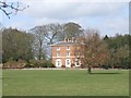

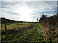
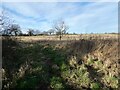
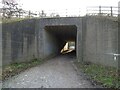
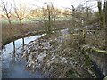
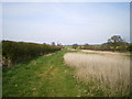
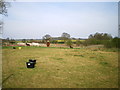
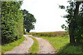
24 photos from this area
Area Information
Key information about the WV7 3AB including its size, population, and administrative classification.
- Area Type
- Postcode
- Area Size
- 74.6 hectares
- Population
- 1931
- Population Density
- 148 people/km²
House Prices in WV7 3AB
12
Properties
£133,863
Average Sold Price
£52,000
Lowest Price
£183,450
Highest Price
Showing 12 properties
| Address | Type | Beds | Baths | Last Sale Price | Last Sale Date | |
|---|---|---|---|---|---|---|
| 8 Shackerley Lane, Cosford, Albrighton, WV7 3AB | Detached | 3 | 1 | £135,000 | Jun 2010 | |
| Riders Rest, 10 Shackerley Lane, Cosford, Albrighton, WV7 3AB | Semi-detached | 4 | - | £183,450 | Dec 2003 | |
| 9 Shackerley Lane, Cosford, Albrighton, WV7 3AB | Semi-detached | - | - | £52,000 | May 1998 | |
| Shackerley House, Old Shackerley Lane, Albrighton, WV7 3AB | house | 6 | 3 | £165,000 | May 1996 | |
| 6 Shackerley Lane, Cosford, Albrighton, WV7 3AB | Detached | 3 | - | - | - | |
| Shackerley Barn, Old Shackerley Lane, Albrighton, WV7 3AB | Bungalow | - | - | - | - | |
| Upper Floor Flat, Riders Rest, 10 Shackerley Lane, Cosford, Albrighton, WV7 3AB | Flat | - | - | - | - | |
| Part Factory Unit Adj Shackerley House, Old Shackerley Lane, Albrighton, WV7 3AB | Industrial | - | - | - | - | |
| 7 Shackerley Lane, Cosford, Albrighton, WV7 3AB | house | - | - | - | - | |
| 5 Shackerley Lane, Cosford, Albrighton, WV7 3AB | house | - | - | - | - |
Page 1 of 2
Energy Efficiency in WV7 3AB
Amenities
Schools
| Rank | School | Type | Entry gender | Ages |
|---|
Explore more schools in this area
Go to Schools tabDemographics
Household Size
Two person
most common
Accommodation Type
Houses
most common
Tenure
85
majority
Ethnic Group
White
most common
Religion
N/A
most common
Household Composition
N/A
most common
Age
47
median
Adults (30-64 years)
most common
Household Deprivation
N/A
with no deprivation
NS-SEC
44
in Lower managerial occupations
Explore more demographic insights in this area
Go to Demographics tabPlanning
Planning Constraints
- Flood RiskPremium
- Ramsar Wetland SitesPremium
- Area of Outstanding Natural BeautyPremium
- Protected Nature ReservePremium
- Protected WoodlandPremium