Area Overview for WV12 5YJ
Photos of WV12 5YJ
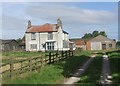
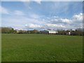
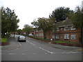
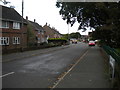
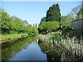
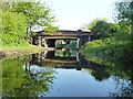
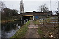
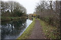
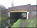
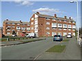
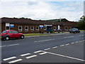
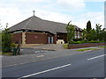
14 photos from this area
Area Information
Key information about the WV12 5YJ including its size, population, and administrative classification.
- Area Type
- Postcode
- Area Size
- 3.4 hectares
- Population
- 1534
- Population Density
- 4468 people/km²
House Prices in WV12 5YJ
25
Properties
£116,213
Average Sold Price
£36,500
Lowest Price
£280,000
Highest Price
Showing 25 properties
| Address | Type | Beds | Baths | Last Sale Price | Last Sale Date | |
|---|---|---|---|---|---|---|
| 21 Sandalwood Close, Willenhall, WV12 5YJ | Semi-detached | 3 | 2 | £280,000 | Dec 2024 | |
| 28 Sandalwood Close, Willenhall, WV12 5YJ | Semi-detached | 4 | 1 | £280,000 | Jun 2024 | |
| 7 Sandalwood Close, Willenhall, WV12 5YJ | Retail | 2 | 1 | £180,000 | Mar 2023 | |
| 2 Sandalwood Close, Willenhall, WV12 5YJ | Flat | 1 | 1 | £96,000 | Nov 2022 | |
| 8 Sandalwood Close, Willenhall, WV12 5YJ | Flat | 1 | 1 | £83,000 | Aug 2020 | |
| 12 Sandalwood Close, Willenhall, WV12 5YJ | Semi-detached | 2 | 1 | £155,000 | Aug 2020 | |
| 6 Sandalwood Close, Willenhall, WV12 5YJ | Flat | 1 | - | £69,000 | Jan 2019 | |
| 24 Sandalwood Close, Willenhall, WV12 5YJ | Semi-detached | 3 | 1 | £151,500 | Sep 2014 | |
| 11 Sandalwood Close, Willenhall, WV12 5YJ | Semi-detached | 2 | - | £127,500 | Jul 2014 | |
| 3 Sandalwood Close, Willenhall, WV12 5YJ | Semi-detached | - | - | £88,500 | Dec 2003 |
Page 1 of 3
Energy Efficiency in WV12 5YJ
Amenities
Schools
| Rank | School | Type | Entry gender | Ages |
|---|
Explore more schools in this area
Go to Schools tabDemographics
Household Size
Family (3-5 people)
most common
Accommodation Type
Houses
most common
Tenure
93
majority
Ethnic Group
White
most common
Religion
N/A
most common
Household Composition
N/A
most common
Age
47
median
Adults (30-64 years)
most common
Household Deprivation
N/A
with no deprivation
NS-SEC
32
in Lower managerial occupations
Explore more demographic insights in this area
Go to Demographics tabPlanning
Planning Constraints
- Flood RiskPremium
- Ramsar Wetland SitesPremium
- Area of Outstanding Natural BeautyPremium
- Protected Nature ReservePremium
- Protected WoodlandPremium