Area Overview for WV10 6BT
Photos of WV10 6BT

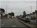
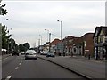
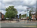

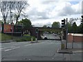
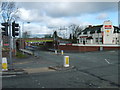
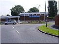
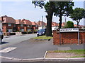
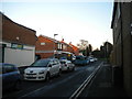
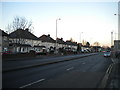
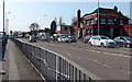
88 photos from this area
Area Information
Key information about the WV10 6BT including its size, population, and administrative classification.
- Area Type
- Postcode
- Area Size
- 1.4 hectares
- Population
- 1765
- Population Density
- 5297 people/km²
House Prices in WV10 6BT
44
Properties
£86,863
Average Sold Price
£19,500
Lowest Price
£225,000
Highest Price
Showing 44 properties
| Address | Type | Beds | Baths | Last Sale Price | Last Sale Date | |
|---|---|---|---|---|---|---|
| 18 Crathorne Avenue, Wolverhampton, WV10 6BT | Semi-detached | 3 | 2 | £225,000 | Aug 2024 | |
| 26 Crathorne Avenue, Wolverhampton, WV10 6BT | Semi-detached | 3 | 1 | £167,000 | Dec 2023 | |
| 10 Crathorne Avenue, Wolverhampton, WV10 6BT | Semi-detached | 3 | 1 | £180,000 | Oct 2023 | |
| 42 Crathorne Avenue, Wolverhampton, WV10 6BT | Semi-detached | 3 | 1 | £143,000 | Aug 2023 | |
| 13 Crathorne Avenue, Wolverhampton, WV10 6BT | Semi-detached | 2 | 2 | £100,000 | Nov 2019 | |
| 8 Crathorne Avenue, Wolverhampton, WV10 6BT | Semi-detached | 3 | 1 | £120,000 | Jul 2019 | |
| 6 Crathorne Avenue, Wolverhampton, WV10 6BT | Semi-detached | 3 | 1 | £115,000 | Apr 2017 | |
| 21 Crathorne Avenue, Wolverhampton, WV10 6BT | house | - | - | £120,000 | Feb 2017 | |
| 34 Crathorne Avenue, Wolverhampton, WV10 6BT | Semi-detached | 3 | 1 | £89,950 | Dec 2016 | |
| 3 Crathorne Avenue, Wolverhampton, WV10 6BT | Semi-detached | 2 | 1 | £96,316 | Nov 2016 |
Page 1 of 5
Energy Efficiency in WV10 6BT
Amenities
Schools
| Rank | School | Type | Entry gender | Ages |
|---|
Explore more schools in this area
Go to Schools tabDemographics
Household Size
Family (3-5 people)
most common
Accommodation Type
Houses
most common
Tenure
61
majority
Ethnic Group
White
most common
Religion
N/A
most common
Household Composition
N/A
most common
Age
47
median
Adults (30-64 years)
most common
Household Deprivation
N/A
with no deprivation
NS-SEC
19
in Lower managerial occupations
Explore more demographic insights in this area
Go to Demographics tabPlanning
Planning Constraints
- Flood RiskPremium
- Ramsar Wetland SitesPremium
- Area of Outstanding Natural BeautyPremium
- Protected Nature ReservePremium
- Protected WoodlandPremium