Area Overview for WV10 6AJ
Photos of WV10 6AJ

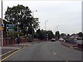
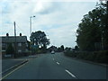
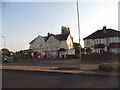
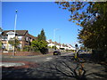
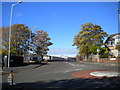
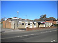
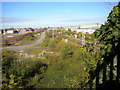
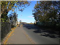
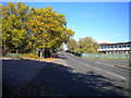
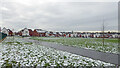
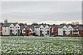
62 photos from this area
Area Information
Key information about the WV10 6AJ including its size, population, and administrative classification.
- Area Type
- Postcode
- Area Size
- 4.8 hectares
- Population
- 2289
- Population Density
- 3738 people/km²
House Prices in WV10 6AJ
30
Properties
£96,286
Average Sold Price
£37,000
Lowest Price
£162,000
Highest Price
Showing 30 properties
| Address | Type | Beds | Baths | Last Sale Price | Last Sale Date | |
|---|---|---|---|---|---|---|
| 390 Stafford Road, Wolverhampton, WV10 6AJ | Flat | - | - | £125,000 | Jun 2019 | |
| 398 Stafford Road, Wolverhampton, WV10 6AJ | Semi-detached | 3 | 1 | £140,000 | Jun 2017 | |
| 372 Stafford Road, Wolverhampton, WV10 6AJ | Semi-detached | - | - | £125,000 | May 2008 | |
| 394 Stafford Road, Wolverhampton, WV10 6AJ | Detached | - | - | £162,000 | Aug 2007 | |
| 374 Stafford Road, Wolverhampton, WV10 6AJ | Semi-detached | - | - | £48,000 | Jul 2000 | |
| 406 Stafford Road, Wolverhampton, WV10 6AJ | Semi-detached | - | - | £37,000 | Aug 1997 | |
| 376 Stafford Road, Wolverhampton, WV10 6AJ | house | - | - | £37,000 | Oct 1996 | |
| 388 Stafford Road, Wolverhampton, WV10 6AJ | Bungalow | 3 | 2 | - | - | |
| 394A Stafford Road, Wolverhampton, WV10 6AJ | Bungalow | 2 | 1 | - | - | |
| 382 Stafford Road, Wolverhampton, WV10 6AJ | undefined | - | - | - | - |
Page 1 of 3
Energy Efficiency in WV10 6AJ
Amenities
Schools
| Rank | School | Type | Entry gender | Ages |
|---|
Explore more schools in this area
Go to Schools tabDemographics
Household Size
Family (3-5 people)
most common
Accommodation Type
Houses
most common
Tenure
76
majority
Ethnic Group
White
most common
Religion
N/A
most common
Household Composition
N/A
most common
Age
47
median
Adults (30-64 years)
most common
Household Deprivation
N/A
with no deprivation
NS-SEC
36
in Lower managerial occupations
Explore more demographic insights in this area
Go to Demographics tabPlanning
Planning Constraints
- Flood RiskPremium
- Ramsar Wetland SitesPremium
- Area of Outstanding Natural BeautyPremium
- Protected Nature ReservePremium
- Protected WoodlandPremium