Area Overview for WS9 9RB
Photos of WS9 9RB
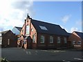
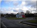
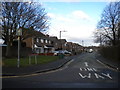
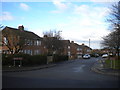
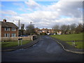
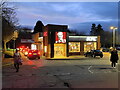
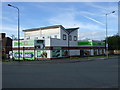
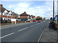
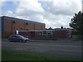
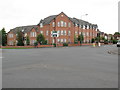
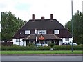
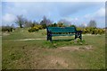
13 photos from this area
Area Information
Key information about the WS9 9RB including its size, population, and administrative classification.
- Area Type
- Postcode
- Area Size
- 2.0 hectares
- Population
- 1543
- Population Density
- 1341 people/km²
House Prices in WS9 9RB
44
Properties
£213,103
Average Sold Price
£80,250
Lowest Price
£395,000
Highest Price
Showing 44 properties
| Address | Type | Beds | Baths | Last Sale Price | Last Sale Date | |
|---|---|---|---|---|---|---|
| 56 Shire Ridge, Walsall Wood, WS9 9RB | house | 4 | 2 | £385,000 | Mar 2025 | |
| 72 Shire Ridge, Walsall Wood, WS9 9RB | Detached | 4 | 2 | £395,000 | Nov 2024 | |
| 44 Shire Ridge, Walsall Wood, WS9 9RB | house | - | - | £334,000 | Jul 2024 | |
| 22 Shire Ridge, Walsall Wood, WS9 9RB | Detached | - | - | £325,000 | Aug 2023 | |
| 74 Shire Ridge, Walsall Wood, WS9 9RB | house | - | - | £365,000 | Dec 2022 | |
| 2 Shire Ridge, Walsall Wood, WS9 9RB | house | - | - | £355,000 | Nov 2021 | |
| 10 Shire Ridge, Walsall Wood, WS9 9RB | Detached | 5 | 1 | £285,000 | Dec 2018 | |
| 76 Shire Ridge, Walsall Wood, WS9 9RB | house | 4 | - | £215,000 | Dec 2017 | |
| 78 Shire Ridge, Walsall Wood, WS9 9RB | house | - | - | £225,000 | Aug 2016 | |
| 50 Shire Ridge, Walsall Wood, WS9 9RB | Detached | 4 | 3 | £206,000 | Feb 2016 |
Page 1 of 5
Energy Efficiency in WS9 9RB
Amenities
Schools
| Rank | School | Type | Entry gender | Ages |
|---|
Explore more schools in this area
Go to Schools tabDemographics
Household Size
Family (3-5 people)
most common
Accommodation Type
Houses
most common
Tenure
91
majority
Ethnic Group
White
most common
Religion
N/A
most common
Household Composition
N/A
most common
Age
47
median
Adults (30-64 years)
most common
Household Deprivation
N/A
with no deprivation
NS-SEC
40
in Lower managerial occupations
Explore more demographic insights in this area
Go to Demographics tabPlanning
Planning Constraints
- Flood RiskPremium
- Ramsar Wetland SitesPremium
- Area of Outstanding Natural BeautyPremium
- Protected Nature ReservePremium
- Protected WoodlandPremium