Area Overview for WS9 9RA
Photos of WS9 9RA
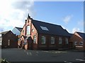
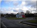
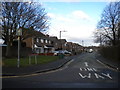
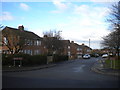
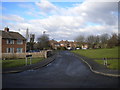
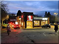
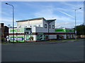
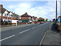
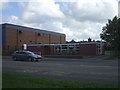
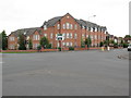
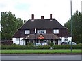
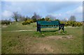
13 photos from this area
Area Information
Key information about the WS9 9RA including its size, population, and administrative classification.
- Area Type
- Postcode
- Area Size
- 2.7 hectares
- Population
- 1543
- Population Density
- 1341 people/km²
House Prices in WS9 9RA
34
Properties
£215,477
Average Sold Price
£78,000
Lowest Price
£410,000
Highest Price
Showing 34 properties
| Address | Type | Beds | Baths | Last Sale Price | Last Sale Date | |
|---|---|---|---|---|---|---|
| 67 Shire Ridge, Walsall Wood, WS9 9RA | house | 4 | 2 | £330,000 | Jul 2025 | |
| 63 Shire Ridge, Walsall Wood, WS9 9RA | Detached | 4 | 2 | £410,000 | Oct 2023 | |
| 9 Shire Ridge, Walsall Wood, WS9 9RA | house | - | - | £390,000 | Nov 2022 | |
| 45 Shire Ridge, Walsall Wood, WS9 9RA | Detached | 4 | - | £395,000 | Jul 2022 | |
| 17 Shire Ridge, Walsall Wood, WS9 9RA | house | - | - | £270,000 | Oct 2019 | |
| 25 Shire Ridge, Walsall Wood, WS9 9RA | Bungalow | - | - | £230,000 | Apr 2019 | |
| 35 Shire Ridge, Walsall Wood, WS9 9RA | Detached | 4 | 3 | £262,500 | Dec 2018 | |
| 21 Shire Ridge, Walsall Wood, WS9 9RA | Detached | 4 | - | £208,000 | Jul 2015 | |
| 41 Shire Ridge, Walsall Wood, WS9 9RA | house | - | - | £200,000 | Nov 2014 | |
| 59 Shire Ridge, Walsall Wood, WS9 9RA | house | - | - | £200,000 | Mar 2014 |
Page 1 of 4
Energy Efficiency in WS9 9RA
Amenities
Schools
| Rank | School | Type | Entry gender | Ages |
|---|
Explore more schools in this area
Go to Schools tabDemographics
Household Size
Family (3-5 people)
most common
Accommodation Type
Houses
most common
Tenure
91
majority
Ethnic Group
White
most common
Religion
N/A
most common
Household Composition
N/A
most common
Age
47
median
Adults (30-64 years)
most common
Household Deprivation
N/A
with no deprivation
NS-SEC
40
in Lower managerial occupations
Explore more demographic insights in this area
Go to Demographics tabPlanning
Planning Constraints
- Flood RiskPremium
- Ramsar Wetland SitesPremium
- Area of Outstanding Natural BeautyPremium
- Protected Nature ReservePremium
- Protected WoodlandPremium