Area Overview for WS9 0EF
Photos of WS9 0EF
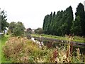
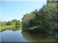
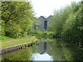
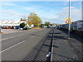
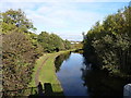
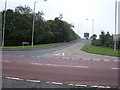
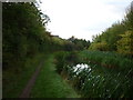
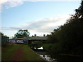
15 photos from this area
Area Information
Key information about the WS9 0EF including its size, population, and administrative classification.
- Area Type
- Postcode
- Area Size
- 1.4 hectares
- Population
- 1571
- Population Density
- 518 people/km²
House Prices in WS9 0EF
29
Properties
£199,278
Average Sold Price
£65,500
Lowest Price
£390,000
Highest Price
Showing 29 properties
| Address | Type | Beds | Baths | Last Sale Price | Last Sale Date | |
|---|---|---|---|---|---|---|
| 16 The Leasow, Aldridge, WS9 0EF | Bungalow | 3 | 2 | £390,000 | Apr 2022 | |
| 18 The Leasow, Aldridge, WS9 0EF | house | - | - | £320,000 | Mar 2022 | |
| 24 The Leasow, Aldridge, WS9 0EF | house | - | - | £225,000 | May 2020 | |
| 8 The Leasow, Aldridge, WS9 0EF | Semi-detached | 3 | 1 | £248,500 | Nov 2019 | |
| 7 The Leasow, Aldridge, WS9 0EF | house | - | - | £207,500 | Sep 2019 | |
| 3 The Leasow, Aldridge, WS9 0EF | house | - | - | £259,000 | Jan 2017 | |
| 27 The Leasow, Aldridge, WS9 0EF | house | - | - | £199,950 | Mar 2016 | |
| 14 The Leasow, Aldridge, WS9 0EF | Bungalow | - | - | £243,750 | Dec 2014 | |
| 12 The Leasow, Aldridge, WS9 0EF | Bungalow | - | - | £238,000 | Oct 2013 | |
| 10 The Leasow, Aldridge, WS9 0EF | Bungalow | - | - | £220,000 | Oct 2013 |
Page 1 of 3
Energy Efficiency in WS9 0EF
Amenities
Schools
| Rank | School | Type | Entry gender | Ages |
|---|
Explore more schools in this area
Go to Schools tabDemographics
Household Size
Family (3-5 people)
most common
Accommodation Type
Houses
most common
Tenure
88
majority
Ethnic Group
White
most common
Religion
N/A
most common
Household Composition
N/A
most common
Age
47
median
Adults (30-64 years)
most common
Household Deprivation
N/A
with no deprivation
NS-SEC
34
in Lower managerial occupations
Explore more demographic insights in this area
Go to Demographics tabPlanning
Planning Constraints
- Flood RiskPremium
- Ramsar Wetland SitesPremium
- Area of Outstanding Natural BeautyPremium
- Protected Nature ReservePremium
- Protected WoodlandPremium