Area Overview for WS9 0BZ
Photos of WS9 0BZ
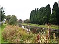
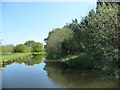
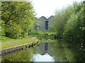
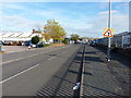
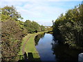
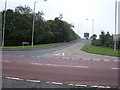
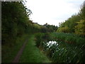
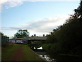
15 photos from this area
Area Information
Key information about the WS9 0BZ including its size, population, and administrative classification.
- Area Type
- Postcode
- Area Size
- 3.3 hectares
- Population
- 1571
- Population Density
- 518 people/km²
House Prices in WS9 0BZ
64
Properties
£151,286
Average Sold Price
£40,500
Lowest Price
£278,500
Highest Price
Showing 64 properties
| Address | Type | Beds | Baths | Last Sale Price | Last Sale Date | |
|---|---|---|---|---|---|---|
| 125 Westbrook Avenue, Aldridge, WS9 0BZ | Semi-detached | 3 | 1 | £277,500 | Jun 2025 | |
| 3 Westbrook Avenue, Aldridge, WS9 0BZ | Semi-detached | 3 | 1 | £278,500 | Apr 2025 | |
| 43 Westbrook Avenue, Aldridge, WS9 0BZ | house | - | - | £217,500 | Dec 2023 | |
| 99 Westbrook Avenue, Aldridge, WS9 0BZ | house | - | - | £217,500 | Apr 2023 | |
| 127 Westbrook Avenue, Aldridge, WS9 0BZ | Retail | 3 | 1 | £225,000 | May 2022 | |
| 55 Westbrook Avenue, Aldridge, WS9 0BZ | house | 3 | - | £262,000 | Dec 2021 | |
| 41 Westbrook Avenue, Aldridge, WS9 0BZ | house | 3 | - | £260,500 | Dec 2021 | |
| 91 Westbrook Avenue, Aldridge, WS9 0BZ | house | - | - | £234,950 | Jul 2021 | |
| 79 Westbrook Avenue, Aldridge, WS9 0BZ | Semi-detached | 3 | 1 | £235,000 | Sep 2020 | |
| 25 Westbrook Avenue, Aldridge, WS9 0BZ | Semi-detached | 3 | - | £188,000 | Jul 2019 |
Page 1 of 7
Energy Efficiency in WS9 0BZ
Amenities
Schools
| Rank | School | Type | Entry gender | Ages |
|---|
Explore more schools in this area
Go to Schools tabDemographics
Household Size
Family (3-5 people)
most common
Accommodation Type
Houses
most common
Tenure
88
majority
Ethnic Group
White
most common
Religion
N/A
most common
Household Composition
N/A
most common
Age
47
median
Adults (30-64 years)
most common
Household Deprivation
N/A
with no deprivation
NS-SEC
34
in Lower managerial occupations
Explore more demographic insights in this area
Go to Demographics tabPlanning
Planning Constraints
- Flood RiskPremium
- Ramsar Wetland SitesPremium
- Area of Outstanding Natural BeautyPremium
- Protected Nature ReservePremium
- Protected WoodlandPremium