Area Overview for WS4 1EE
Photos of WS4 1EE
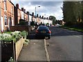
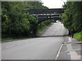
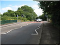
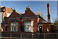
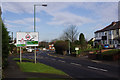
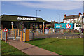
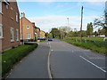
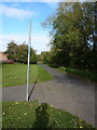

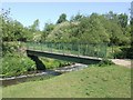
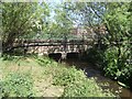
27 photos from this area
Area Information
Key information about the WS4 1EE including its size, population, and administrative classification.
- Area Type
- Postcode
- Area Size
- 1.0 hectares
- Population
- 1947
- Population Density
- 1947 people/km²
House Prices in WS4 1EE
24
Properties
£63,995
Average Sold Price
£35,000
Lowest Price
£94,500
Highest Price
Showing 24 properties
| Address | Type | Beds | Baths | Last Sale Price | Last Sale Date | |
|---|---|---|---|---|---|---|
| 6, Yemscroft Flats, Lichfield Road, Rushall, WS4 1EE | Flat | 2 | 1 | £54,000 | Aug 2023 | |
| 2, Yemscroft Flats, Lichfield Road, Rushall, WS4 1EE | Semi-detached | 3 | - | £74,000 | Mar 2023 | |
| 10, Yemscroft Flats, Lichfield Road, Rushall, WS4 1EE | Flat | - | - | £64,000 | Jan 2021 | |
| 9, Yemscroft Flats, Lichfield Road, Rushall, WS4 1EE | Flat | - | - | £59,000 | Aug 2019 | |
| 22, Yemscroft Flats, Lichfield Road, Rushall, WS4 1EE | Flat | - | - | £59,500 | Jan 2019 | |
| 7, Yemscroft Flats, Lichfield Road, Rushall, WS4 1EE | Flat | - | - | £66,500 | Oct 2018 | |
| 8, Yemscroft Flats, Lichfield Road, Rushall, WS4 1EE | Flat | - | - | £48,000 | Aug 2018 | |
| 18, Yemscroft Flats, Lichfield Road, Rushall, WS4 1EE | Flat | 2 | - | £62,000 | Sep 2015 | |
| 11, Yemscroft Flats, Lichfield Road, Rushall, WS4 1EE | Flat | - | - | £58,000 | Feb 2013 | |
| 12, Yemscroft Flats, Lichfield Road, Rushall, WS4 1EE | Flat | 2 | 1 | £56,000 | Jan 2012 |
Page 1 of 3
Energy Efficiency in WS4 1EE
Amenities
Schools
| Rank | School | Type | Entry gender | Ages |
|---|
Explore more schools in this area
Go to Schools tabDemographics
Household Size
Two person
most common
Accommodation Type
Houses
most common
Tenure
65
majority
Ethnic Group
White
most common
Religion
N/A
most common
Household Composition
N/A
most common
Age
47
median
Adults (30-64 years)
most common
Household Deprivation
N/A
with no deprivation
NS-SEC
29
in Lower managerial occupations
Explore more demographic insights in this area
Go to Demographics tabPlanning
Planning Constraints
- Flood RiskPremium
- Ramsar Wetland SitesPremium
- Area of Outstanding Natural BeautyPremium
- Protected Nature ReservePremium
- Protected WoodlandPremium