Area Overview for WS3 4ND
Photos of WS3 4ND
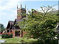
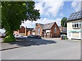
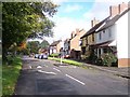
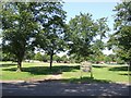
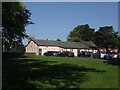
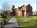
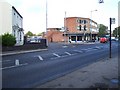
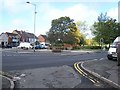
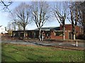
30 photos from this area
Area Information
Key information about the WS3 4ND including its size, population, and administrative classification.
- Area Type
- Postcode
- Area Size
- 1.0 hectares
- Population
- 1505
- Population Density
- 5684 people/km²
House Prices in WS3 4ND
30
Properties
£105,180
Average Sold Price
£45,499
Lowest Price
£230,000
Highest Price
Showing 30 properties
| Address | Type | Beds | Baths | Last Sale Price | Last Sale Date | |
|---|---|---|---|---|---|---|
| 19 Norbury Avenue, Pelsall, WS3 4ND | Semi-detached | 3 | 1 | £129,950 | Dec 2024 | |
| 6 Norbury Avenue, Pelsall, WS3 4ND | house | - | - | £230,000 | Oct 2024 | |
| 10 Norbury Avenue, Pelsall, WS3 4ND | Terraced | 3 | 1 | £152,000 | Jul 2019 | |
| 5 Norbury Avenue, Pelsall, WS3 4ND | Semi-detached | 3 | - | £149,950 | Sep 2018 | |
| 29 Norbury Avenue, Pelsall, WS3 4ND | Semi-detached | 3 | 1 | £157,500 | May 2018 | |
| 14 Norbury Avenue, Pelsall, WS3 4ND | house | - | - | £80,000 | Apr 2013 | |
| 7 Norbury Avenue, Pelsall, WS3 4ND | Semi-detached | 3 | - | £117,000 | Mar 2013 | |
| 37 Norbury Avenue, Pelsall, WS3 4ND | house | 3 | - | £90,000 | Nov 2009 | |
| 25 Norbury Avenue, Pelsall, WS3 4ND | house | - | - | £120,000 | Jun 2009 | |
| 35 Norbury Avenue, Pelsall, WS3 4ND | house | - | - | £71,000 | Jan 2009 |
Page 1 of 3
Energy Efficiency in WS3 4ND
Amenities
Schools
| Rank | School | Type | Entry gender | Ages |
|---|
Explore more schools in this area
Go to Schools tabDemographics
Household Size
Two person
most common
Accommodation Type
Houses
most common
Tenure
67
majority
Ethnic Group
White
most common
Religion
N/A
most common
Household Composition
N/A
most common
Age
47
median
Adults (30-64 years)
most common
Household Deprivation
N/A
with no deprivation
NS-SEC
26
in Lower managerial occupations
Explore more demographic insights in this area
Go to Demographics tabPlanning
Planning Constraints
- Flood RiskPremium
- Ramsar Wetland SitesPremium
- Area of Outstanding Natural BeautyPremium
- Protected Nature ReservePremium
- Protected WoodlandPremium