Area Overview for WS3 4LS
Photos of WS3 4LS
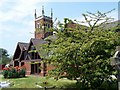
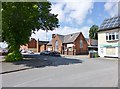
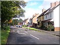
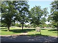
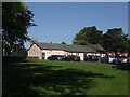
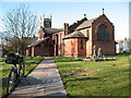
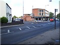
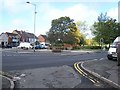
30 photos from this area
Area Information
Key information about the WS3 4LS including its size, population, and administrative classification.
- Area Type
- Postcode
- Area Size
- 1.3 hectares
- Population
- 1505
- Population Density
- 5684 people/km²
House Prices in WS3 4LS
41
Properties
£153,083
Average Sold Price
£25,350
Lowest Price
£339,500
Highest Price
Showing 41 properties
| Address | Type | Beds | Baths | Last Sale Price | Last Sale Date | |
|---|---|---|---|---|---|---|
| 49 Ashtree Road, Pelsall, WS3 4LS | Semi-detached | 2 | 1 | £217,000 | Aug 2024 | |
| 62 Ashtree Road, Pelsall, WS3 4LS | Terraced | 3 | 1 | £339,500 | Nov 2022 | |
| 57 Ashtree Road, Pelsall, WS3 4LS | Detached | 3 | 2 | £260,000 | Oct 2022 | |
| 66 Ashtree Road, Pelsall, WS3 4LS | house | 2 | 2 | £235,000 | Jun 2022 | |
| 70 Ashtree Road, Pelsall, WS3 4LS | house | - | - | £185,000 | Dec 2021 | |
| 64 Ashtree Road, Pelsall, WS3 4LS | house | - | - | £165,000 | Jun 2021 | |
| 84 Ashtree Road, Pelsall, WS3 4LS | house | - | - | £199,950 | Dec 2020 | |
| 60 Ashtree Road, Pelsall, WS3 4LS | house | - | - | £208,000 | Nov 2020 | |
| 63 Ashtree Road, Pelsall, WS3 4LS | Semi-detached | - | - | £200,000 | Apr 2019 | |
| 65 Ashtree Road, Pelsall, WS3 4LS | Terraced | 3 | 2 | £130,000 | Mar 2019 |
Page 1 of 5
Energy Efficiency in WS3 4LS
Amenities
Schools
| Rank | School | Type | Entry gender | Ages |
|---|
Explore more schools in this area
Go to Schools tabDemographics
Household Size
Two person
most common
Accommodation Type
Houses
most common
Tenure
67
majority
Ethnic Group
White
most common
Religion
N/A
most common
Household Composition
N/A
most common
Age
47
median
Adults (30-64 years)
most common
Household Deprivation
N/A
with no deprivation
NS-SEC
26
in Lower managerial occupations
Explore more demographic insights in this area
Go to Demographics tabPlanning
Planning Constraints
- Flood RiskPremium
- Ramsar Wetland SitesPremium
- Area of Outstanding Natural BeautyPremium
- Protected Nature ReservePremium
- Protected WoodlandPremium