Area Overview for WS2 0HT
Photos of WS2 0HT
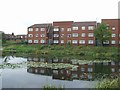
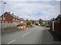
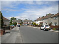
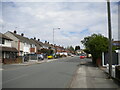
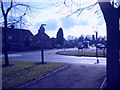
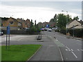
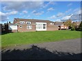
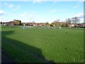
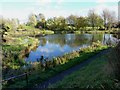
26 photos from this area
Area Information
Key information about the WS2 0HT including its size, population, and administrative classification.
- Area Type
- Postcode
- Area Size
- 1.7 hectares
- Population
- 1660
- Population Density
- 4137 people/km²
House Prices in WS2 0HT
51
Properties
£94,217
Average Sold Price
£47,500
Lowest Price
£147,000
Highest Price
Showing 51 properties
| Address | Type | Beds | Baths | Last Sale Price | Last Sale Date | |
|---|---|---|---|---|---|---|
| 109 Edinburgh Avenue, Bentley, WS2 0HT | house | - | - | £145,500 | Jul 2021 | |
| 88 Edinburgh Avenue, Bentley, WS2 0HT | house | 3 | - | £147,000 | Dec 2020 | |
| 111 Edinburgh Avenue, Bentley, WS2 0HT | Semi-detached | 2 | - | £95,000 | Jul 2016 | |
| 77 Edinburgh Avenue, Bentley, WS2 0HT | Semi-detached | 2 | 1 | £108,000 | Sep 2014 | |
| 66 Edinburgh Avenue, Bentley, WS2 0HT | Semi-detached | 3 | 1 | £53,000 | Jul 2013 | |
| 90 Edinburgh Avenue, Bentley, WS2 0HT | house | 3 | - | £100,500 | Apr 2011 | |
| 81 Edinburgh Avenue, Bentley, WS2 0HT | house | - | - | £83,000 | Mar 2010 | |
| 68 Edinburgh Avenue, Bentley, WS2 0HT | house | - | - | £91,000 | Oct 2009 | |
| 103 Edinburgh Avenue, Bentley, WS2 0HT | Semi-detached | 2 | - | £64,000 | Feb 2009 | |
| 64 Edinburgh Avenue, Bentley, WS2 0HT | Semi-detached | - | - | £100,000 | Aug 2007 |
Page 1 of 6
Energy Efficiency in WS2 0HT
Amenities
Schools
| Rank | School | Type | Entry gender | Ages |
|---|
Explore more schools in this area
Go to Schools tabDemographics
Household Size
Family (3-5 people)
most common
Accommodation Type
Houses
most common
Tenure
37
majority
Ethnic Group
White
most common
Religion
N/A
most common
Household Composition
N/A
most common
Age
47
median
Adults (30-64 years)
most common
Household Deprivation
N/A
with no deprivation
NS-SEC
15
in Lower managerial occupations
Explore more demographic insights in this area
Go to Demographics tabPlanning
Planning Constraints
- Flood RiskPremium
- Ramsar Wetland SitesPremium
- Area of Outstanding Natural BeautyPremium
- Protected Nature ReservePremium
- Protected WoodlandPremium