Area Overview for WS2 0HR
Photos of WS2 0HR
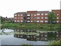
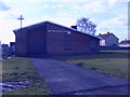
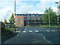
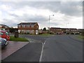
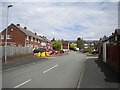
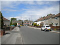
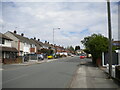
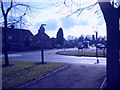
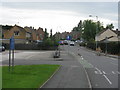
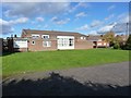
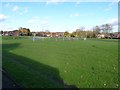
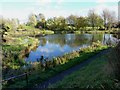
26 photos from this area
Area Information
Key information about the WS2 0HR including its size, population, and administrative classification.
- Area Type
- Postcode
- Area Size
- 2.0 hectares
- Population
- 1660
- Population Density
- 4137 people/km²
House Prices in WS2 0HR
82
Properties
£121,357
Average Sold Price
£41,000
Lowest Price
£178,000
Highest Price
Showing 82 properties
| Address | Type | Beds | Baths | Last Sale Price | Last Sale Date | |
|---|---|---|---|---|---|---|
| 187 Churchill Road, Bentley, WS2 0HR | Semi-detached | 3 | 1 | £152,000 | Aug 2023 | |
| 159 Churchill Road, Bentley, WS2 0HR | Semi-detached | 3 | 1 | £178,000 | Aug 2023 | |
| 171 Churchill Road, Bentley, WS2 0HR | Semi-detached | 3 | 2 | £171,000 | May 2023 | |
| 173 Churchill Road, Bentley, WS2 0HR | Semi-detached | 3 | 2 | £142,500 | Jul 2020 | |
| 189 Churchill Road, Bentley, WS2 0HR | house | - | - | £75,000 | Oct 2010 | |
| 181 Churchill Road, Bentley, WS2 0HR | house | - | - | £90,000 | Oct 2010 | |
| 161 Churchill Road, Bentley, WS2 0HR | house | - | - | £41,000 | Oct 1997 | |
| 177 Churchill Road, Bentley, WS2 0HR | Semi-detached | 3 | - | - | - | |
| 159B Churchill Road, Bentley, WS2 0HR | house | 3 | - | - | - | |
| 1, Parsons House, Churchill Road, Bentley, WS2 0HR | Flat | - | - | - | - |
Page 1 of 9
Energy Efficiency in WS2 0HR
Amenities
Schools
| Rank | School | Type | Entry gender | Ages |
|---|
Explore more schools in this area
Go to Schools tabDemographics
Household Size
Family (3-5 people)
most common
Accommodation Type
Houses
most common
Tenure
37
majority
Ethnic Group
White
most common
Religion
N/A
most common
Household Composition
N/A
most common
Age
47
median
Adults (30-64 years)
most common
Household Deprivation
N/A
with no deprivation
NS-SEC
15
in Lower managerial occupations
Explore more demographic insights in this area
Go to Demographics tabPlanning
Planning Constraints
- Flood RiskPremium
- Ramsar Wetland SitesPremium
- Area of Outstanding Natural BeautyPremium
- Protected Nature ReservePremium
- Protected WoodlandPremium