Area Overview for WS15 4DH
Photos of WS15 4DH
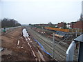
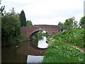
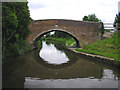
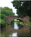
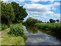
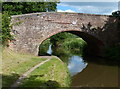
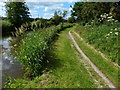
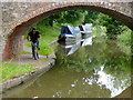
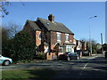
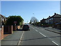
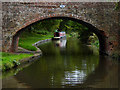
54 photos from this area
Area Information
Key information about the WS15 4DH including its size, population, and administrative classification.
- Area Type
- Postcode
- Area Size
- 7065 m²
- Population
- 1575
- Population Density
- 1481 people/km²
House Prices in WS15 4DH
13
Properties
£196,990
Average Sold Price
£68,000
Lowest Price
£425,000
Highest Price
Showing 13 properties
| Address | Type | Beds | Baths | Last Sale Price | Last Sale Date | |
|---|---|---|---|---|---|---|
| 80 Lichfield Road, Armitage, Rugeley, WS15 4DH | Semi-detached | 3 | 1 | £299,950 | Nov 2025 | |
| 92 Lichfield Road, Armitage, Rugeley, WS15 4DH | Detached | - | - | £270,000 | Jan 2022 | |
| 86 Lichfield Road, Armitage, Rugeley, WS15 4DH | Detached | 3 | - | £425,000 | Nov 2021 | |
| 90 Lichfield Road, Armitage, Rugeley, WS15 4DH | house | - | - | £255,000 | Sep 2020 | |
| 82 Lichfield Road, Armitage, Rugeley, WS15 4DH | Bungalow | - | - | £169,995 | Dec 2004 | |
| 84 Lichfield Road, Armitage, Rugeley, WS15 4DH | Detached | - | - | £165,000 | Nov 2002 | |
| 78 Lichfield Road, Armitage, Rugeley, WS15 4DH | house | 5 | - | £149,950 | Nov 2002 | |
| 76 Lichfield Road, Armitage, Rugeley, WS15 4DH | house | - | - | £68,000 | Jan 1999 | |
| 94 Lichfield Road, Armitage, Rugeley, WS15 4DH | Detached | - | - | £92,500 | Nov 1997 | |
| 96 Lichfield Road, Armitage, Rugeley, WS15 4DH | Detached | - | - | £74,500 | Mar 1995 |
Page 1 of 2
Energy Efficiency in WS15 4DH
Amenities
Schools
| Rank | School | Type | Entry gender | Ages |
|---|
Explore more schools in this area
Go to Schools tabDemographics
Household Size
Two person
most common
Accommodation Type
Houses
most common
Tenure
72
majority
Ethnic Group
White
most common
Religion
N/A
most common
Household Composition
N/A
most common
Age
47
median
Adults (30-64 years)
most common
Household Deprivation
N/A
with no deprivation
NS-SEC
28
in Lower managerial occupations
Explore more demographic insights in this area
Go to Demographics tabPlanning
Planning Constraints
- Flood RiskPremium
- Ramsar Wetland SitesPremium
- Area of Outstanding Natural BeautyPremium
- Protected Nature ReservePremium
- Protected WoodlandPremium