Area Overview for WS15 3BN
Photos of WS15 3BN
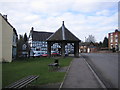
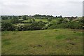
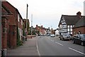
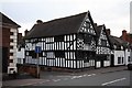
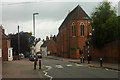
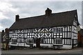
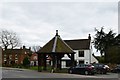
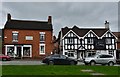
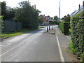
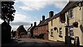
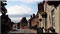
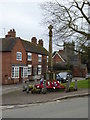
56 photos from this area
Area Information
Key information about the WS15 3BN including its size, population, and administrative classification.
- Area Type
- Postcode
- Area Size
- 1.8 hectares
- Population
- 1333
- Population Density
- 461 people/km²
House Prices in WS15 3BN
20
Properties
£438,571
Average Sold Price
£125,000
Lowest Price
£1,150,000
Highest Price
Showing 20 properties
| Address | Type | Beds | Baths | Last Sale Price | Last Sale Date | |
|---|---|---|---|---|---|---|
| Sycamore House, High Street, Abbots Bromley, WS15 3BN | Detached | 6 | 3 | £785,000 | Aug 2025 | |
| Norman Villa, High Street, Abbots Bromley, WS15 3BN | Detached | 6 | 4 | £1,150,000 | Jun 2021 | |
| Kinclaven House, High Street, Abbots Bromley, WS15 3BN | house | - | - | £305,000 | Feb 2020 | |
| Latham House, High Street, Abbots Bromley, WS15 3BN | house | - | - | £290,000 | Oct 2019 | |
| Yew Tree Cottage, High Street, Abbots Bromley, WS15 3BN | house | - | - | £240,000 | Sep 2016 | |
| Norman Cottage, High Street, Abbots Bromley, WS15 3BN | Terraced | 2 | 1 | £175,000 | Jun 2016 | |
| Norfolk House, High Street, Abbots Bromley, WS15 3BN | Detached | - | - | £125,000 | Jul 2013 | |
| 1, Dandelion Cottages, High Street, Abbots Bromley, WS15 3BN | Semi-detached | 4 | - | - | - | |
| 2, Dandelion Cottages, High Street, Abbots Bromley, WS15 3BN | Semi-detached | 4 | - | - | - | |
| Duttons House, High Street, Abbots Bromley, WS15 3BN | Land | 1 | - | - | - |
Page 1 of 2
Energy Efficiency in WS15 3BN
Amenities
Schools
| Rank | School | Type | Entry gender | Ages |
|---|
Explore more schools in this area
Go to Schools tabDemographics
Household Size
Two person
most common
Accommodation Type
Houses
most common
Tenure
80
majority
Ethnic Group
White
most common
Religion
N/A
most common
Household Composition
N/A
most common
Age
47
median
Adults (30-64 years)
most common
Household Deprivation
N/A
with no deprivation
NS-SEC
45
in Lower managerial occupations
Explore more demographic insights in this area
Go to Demographics tabPlanning
Planning Constraints
- Flood RiskPremium
- Ramsar Wetland SitesPremium
- Area of Outstanding Natural BeautyPremium
- Protected Nature ReservePremium
- Protected WoodlandPremium