Area Overview for WS15 2RD
Photos of WS15 2RD
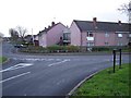
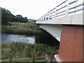
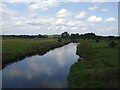
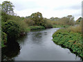
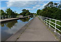
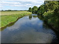
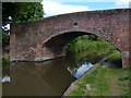
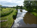
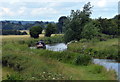
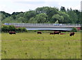
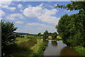
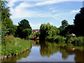
62 photos from this area
Area Information
Key information about the WS15 2RD including its size, population, and administrative classification.
- Area Type
- Postcode
- Area Size
- 8346 m²
- Population
- 1489
- Population Density
- 6644 people/km²
House Prices in WS15 2RD
24
Properties
£164,925
Average Sold Price
£50,000
Lowest Price
£250,000
Highest Price
Showing 24 properties
| Address | Type | Beds | Baths | Last Sale Price | Last Sale Date | |
|---|---|---|---|---|---|---|
| 53 Bower Lane, Rugeley, WS15 2RD | house | - | - | £169,000 | Mar 2023 | |
| 37 Bower Lane, Rugeley, WS15 2RD | Bungalow | 3 | 1 | £240,500 | Dec 2022 | |
| 39 Bower Lane, Rugeley, WS15 2RD | Retail | 3 | 1 | £250,000 | Jun 2022 | |
| 49 Bower Lane, Rugeley, WS15 2RD | house | - | - | £215,000 | Nov 2021 | |
| 67 Bower Lane, Rugeley, WS15 2RD | house | - | - | £187,500 | Aug 2021 | |
| 71 Bower Lane, Rugeley, WS15 2RD | Semi-detached | 3 | 2 | £203,000 | Nov 2020 | |
| 35 Bower Lane, Rugeley, WS15 2RD | house | - | - | £200,000 | Jun 2020 | |
| 37A Bower Lane, Rugeley, WS15 2RD | Retail | 4 | 2 | £245,000 | Feb 2018 | |
| 51 Bower Lane, Rugeley, WS15 2RD | house | - | - | £134,000 | Feb 2005 | |
| 57 Bower Lane, Rugeley, WS15 2RD | Semi-detached | - | - | £147,000 | Dec 2004 |
Page 1 of 3
Energy Efficiency in WS15 2RD
Amenities
Schools
| Rank | School | Type | Entry gender | Ages |
|---|
Explore more schools in this area
Go to Schools tabDemographics
Household Size
Two person
most common
Accommodation Type
Houses
most common
Tenure
77
majority
Ethnic Group
White
most common
Religion
N/A
most common
Household Composition
N/A
most common
Age
47
median
Adults (30-64 years)
most common
Household Deprivation
N/A
with no deprivation
NS-SEC
26
in Lower managerial occupations
Explore more demographic insights in this area
Go to Demographics tabPlanning
Planning Constraints
- Flood RiskPremium
- Ramsar Wetland SitesPremium
- Area of Outstanding Natural BeautyPremium
- Protected Nature ReservePremium
- Protected WoodlandPremium