Area Overview for WS15 2QZ
Photos of WS15 2QZ
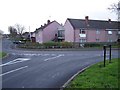
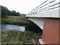
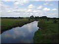
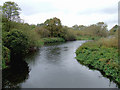
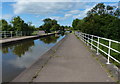
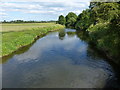
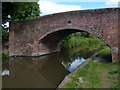
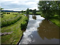
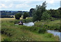
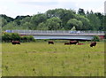
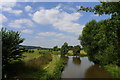
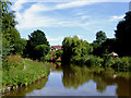
62 photos from this area
Area Information
Key information about the WS15 2QZ including its size, population, and administrative classification.
- Area Type
- Postcode
- Area Size
- 2.0 hectares
- Population
- 1489
- Population Density
- 6644 people/km²
House Prices in WS15 2QZ
57
Properties
£108,030
Average Sold Price
£34,000
Lowest Price
£196,000
Highest Price
Showing 57 properties
| Address | Type | Beds | Baths | Last Sale Price | Last Sale Date | |
|---|---|---|---|---|---|---|
| 85 The Beeches, Rugeley, WS15 2QZ | house | - | - | £180,000 | Mar 2025 | |
| 67 The Beeches, Rugeley, WS15 2QZ | Terraced | - | - | £170,000 | Feb 2025 | |
| 63 The Beeches, Rugeley, WS15 2QZ | house | 3 | 2 | £196,000 | Jul 2022 | |
| 78 The Beeches, Rugeley, WS15 2QZ | Terraced | 3 | - | £170,000 | Oct 2021 | |
| 57 The Beeches, Rugeley, WS15 2QZ | house | - | - | £160,000 | Jun 2021 | |
| 83 The Beeches, Rugeley, WS15 2QZ | house | - | - | £150,000 | Jun 2020 | |
| 54 The Beeches, Rugeley, WS15 2QZ | Semi-detached | 3 | 1 | £125,000 | Oct 2019 | |
| 45 The Beeches, Rugeley, WS15 2QZ | Terraced | 3 | 1 | £132,000 | Sep 2019 | |
| 79 The Beeches, Rugeley, WS15 2QZ | house | - | - | £141,000 | Oct 2018 | |
| 75 The Beeches, Rugeley, WS15 2QZ | Terraced | 3 | 1 | £121,500 | Oct 2017 |
Page 1 of 6
Energy Efficiency in WS15 2QZ
Amenities
Schools
| Rank | School | Type | Entry gender | Ages |
|---|
Explore more schools in this area
Go to Schools tabDemographics
Household Size
Two person
most common
Accommodation Type
Houses
most common
Tenure
77
majority
Ethnic Group
White
most common
Religion
N/A
most common
Household Composition
N/A
most common
Age
47
median
Adults (30-64 years)
most common
Household Deprivation
N/A
with no deprivation
NS-SEC
26
in Lower managerial occupations
Explore more demographic insights in this area
Go to Demographics tabPlanning
Planning Constraints
- Flood RiskPremium
- Ramsar Wetland SitesPremium
- Area of Outstanding Natural BeautyPremium
- Protected Nature ReservePremium
- Protected WoodlandPremium