Area Overview for WS10 9LJ
Photos of WS10 9LJ
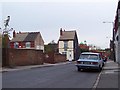
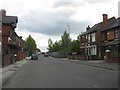
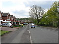
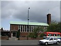
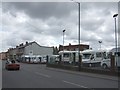
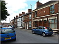
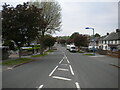
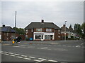
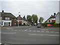
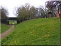
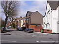
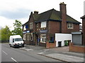
37 photos from this area
Area Information
Key information about the WS10 9LJ including its size, population, and administrative classification.
- Area Type
- Postcode
- Area Size
- 1.8 hectares
- Population
- 1616
- Population Density
- 5698 people/km²
House Prices in WS10 9LJ
38
Properties
£109,500
Average Sold Price
£22,500
Lowest Price
£180,000
Highest Price
Showing 38 properties
| Address | Type | Beds | Baths | Last Sale Price | Last Sale Date | |
|---|---|---|---|---|---|---|
| 55 Alexandra Road, Darlaston, WS10 9LJ | Semi-detached | 3 | 1 | £132,000 | Jun 2024 | |
| 38 Alexandra Road, Darlaston, WS10 9LJ | Terraced | 2 | 1 | £164,000 | Jul 2023 | |
| 52 Alexandra Road, Darlaston, WS10 9LJ | house | - | - | £180,000 | Sep 2021 | |
| 36 Alexandra Road, Darlaston, WS10 9LJ | house | - | - | £125,000 | Aug 2021 | |
| 39 Alexandra Road, Darlaston, WS10 9LJ | Terraced | 4 | 1 | £155,000 | Sep 2018 | |
| 70 Alexandra Road, Darlaston, WS10 9LJ | Terraced | 3 | 1 | £94,000 | Jun 2017 | |
| 64 Alexandra Road, Darlaston, WS10 9LJ | Semi-detached | 2 | - | £95,000 | Jun 2017 | |
| 50 Alexandra Road, Darlaston, WS10 9LJ | Semi-detached | 3 | - | £86,000 | Jan 2014 | |
| 66 Alexandra Road, Darlaston, WS10 9LJ | house | - | - | £120,000 | May 2008 | |
| 34 Alexandra Road, Darlaston, WS10 9LJ | Semi-detached | 2 | 1 | £138,000 | Dec 2006 |
Page 1 of 4
Energy Efficiency in WS10 9LJ
Amenities
Schools
| Rank | School | Type | Entry gender | Ages |
|---|
Explore more schools in this area
Go to Schools tabDemographics
Household Size
Family (3-5 people)
most common
Accommodation Type
Houses
most common
Tenure
58
majority
Ethnic Group
asian_total
most common
Religion
N/A
most common
Household Composition
N/A
most common
Age
47
median
Adults (30-64 years)
most common
Household Deprivation
N/A
with no deprivation
NS-SEC
13
in Lower managerial occupations
Explore more demographic insights in this area
Go to Demographics tabPlanning
Planning Constraints
- Flood RiskPremium
- Ramsar Wetland SitesPremium
- Area of Outstanding Natural BeautyPremium
- Protected Nature ReservePremium
- Protected WoodlandPremium